
Country United States FIPS code 29-03034 Elevation 89 m Population 3 (2010) | Time zone Central (CST) (UTC-6) GNIS feature ID 0713555 Area 54 ha Local time Tuesday 11:57 AM | |
 | ||
Weather 19°C, Wind S at 21 km/h, 92% Humidity | ||
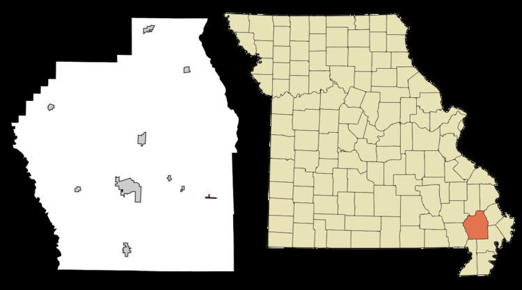
Baker is a village in Stoddard County, Missouri, United States. The population was 3 at the 2010 census. Due to its extremely small population of high income residents, Baker ranks third on the list of the highest income places in the United States.
Contents
Map of Baker, MO 63846, USA
Geography
Baker is located at 36°46′25″N 89°45′41″W (36.773613, −89.761513).
According to the United States Census Bureau, the village has a total area of 0.21 square miles (0.54 km2), all land.
Baker and Goshen, Massachusetts are the only two towns or villages in the United States within 29 miles of four different states. Baker is 28.6 miles from Arkansas, 28.2 miles from Illinois, 23 miles from Tennessee, and 18 miles from Kentucky.
2010 census
As of the census of 2010, there were 3 people, 1 household, and 1 family residing in the village. The population density was 14.3 inhabitants per square mile (5.5/km2). There were 2 housing units at an average density of 9.5 per square mile (3.7/km2). The racial makeup of the village was 100.0% White.
There was 1 household, of which 100.0% were married couples living together. 0.0% of all households were made up of individuals. The average household size was 3.00 and the average family size was 3.00.
The median age in the village was 60.5 years. 0.0% of residents were under the age of 18; 0.0% were between the ages of 18 and 24; 33.3% were from 25 to 44; 33.3% were from 45 to 64; and 33.3% were 65 years of age or older. The gender makeup of the village was 66.7% male and 33.3% female.
2000 census
As of the census of 2000, there were 5 people, 2 households, and 1 family residing in the village. The population density was 24.1 people per square mile (9.2/km²). There were 2 housing units at an average density of 9.7/sq mi (3.7/km²). The racial makeup of the village was 100.00% White.
There were two households, neither of which had children under the age of 18 living with them, one of which was a married couple living together, and one of which was a non-family. One household was made up of an individual living alone who was 65 years of age or older. The average household size was 2.50 and the average family size was 4.00.
In the village, the population was spread out with one person aged 19, one between 20 and 24, two persons between 45 and 54, and one person who was between 65 and 74 years of age. The median age was 47.5 years. There were three female inhabitants and two male inhabitants. All five residents are 18 years or older.
The median income for a household and a family in the village was $177,361. Males had a median income of $100,000 versus $79,631 for females. The per capita income for the village was $182,000. The single family was not below the poverty line.