Harman Patil (Editor)

Bakel Department

Updated on
Edit
Like
Comment
Share on FacebookTweet on TwitterShare on LinkedInShare on Reddit
Country
  
Senegal

Capital
  
Bakel

Area
  
22,378 km²

Region
  
Tambacounda Region

Time zone
  
GMT (UTC+0)

Local time
  
Tuesday 5:30 PM

Bakel Department

Weather
  
40°C, Wind NE at 10 km/h, 10% Humidity

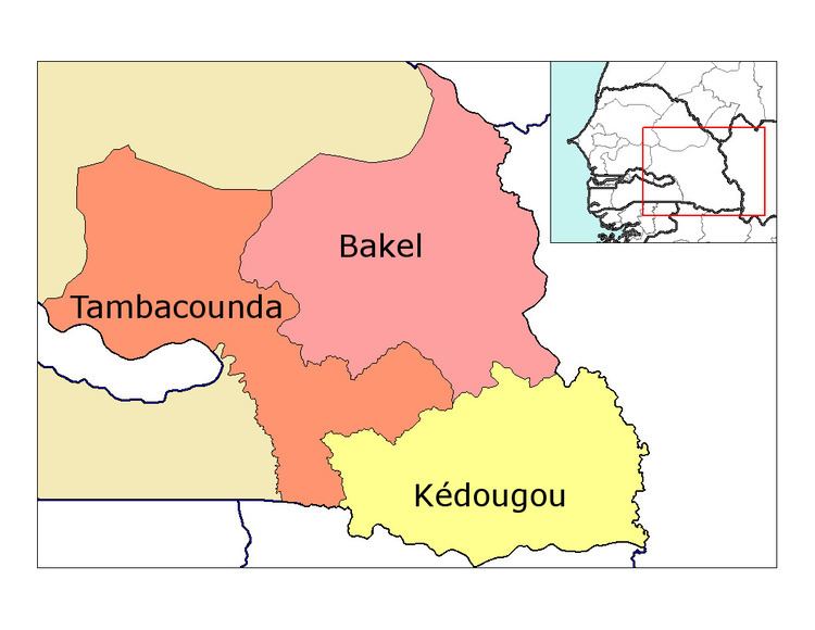
Bakel Department is one of the 45 departments of Senegal and one of the four making up the Tambacounda Region in the east of the country. The department had an area of 22,378 km² and population estimate at 215,680 in 2005. However, recently the department was reduced to create the new department of Goudiry.

Contents

Map of Bakel, Senegal

The department has three urban communes; Bakel, Diawara and Kidira.

The rest of the department is divided administratively into three arrondissements which are in turn are divided into rural communities (communautés rurales):

  • Bélé Arrondissement
  • Bélé
  • Sinthiou Fissa
  • Kéniaba Arrondissement
  • Toumboura
  • Sadatou
  • Madina Foulbé
  • Gathiary
  • Moudéry Arrondissement
  • Moudéry
  • Ballou
  • Gabou
  • Historic Sites

  • René Caillé Pavilion in Bakel town
  • Bakel Fort in Bakel town
  • Cemetery of the Circumcised in Bakel town
  • Previous "Comptoir" of the Maurel & Prom establishment in Bakel town
  • Sacred hill of Ngoundéiny Guidimpalé in Bakel town
  • Fort of Sénédébou, Arrondissement of Kidira
  • Hill of Wouro Himadou and (purported) tomb of Malick Sy, first Almamy (muslim ruler) of the Bundu
  • References

    Bakel Department Wikipedia