
Country Nepal Time zone NPT (UTC+5:45) Area 3,422 km² | Headquarters Chainpur Zone Seti Zone | |
 | ||
Region Far-Western Development Region, Nepal | ||
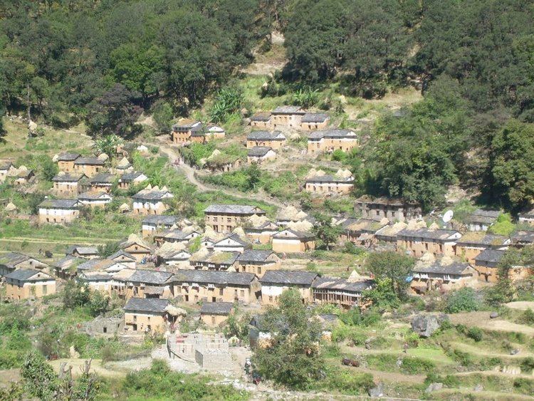
Bajhang District (Nepali: बझाङ जिल्ला Listen , a part of Province No. 7, is one of the seventy-five districts of Nepal. The district, with Chainpur as its district headquarters, covers an area of 3,422 km² and has a population (2011) of 195,159. The headquarter Chainpur is situated at the bank of Seti River and Bauli Gaad.
Contents
Map of Bajhang, Nepal
References
Bajhang District Wikipedia(Text) CC BY-SA