
Capital La Bisbal d'Empordà Time zone CET (UTC+1) Population 132,886 (2014) | Demonym(s) Baixempordanès Area 701.8 km² | |
 | ||
Municipalities ListAlbons, Begur, Bellcaire d'Empordà, La Bisbal d'Empordà, Calonge, Castell-Platja d'Aro, Colomers, Corçà, Cruïlles, Monells i Sant Sadurní de l'Heura, Foixà, Fontanilles, Forallac, Garrigoles, Gualta, Jafre, Mont-ras, Palafrugell, Palamós, Palau-sator, Pals, Parlavà, La Pera, Regencós, Rupià, Sant Feliu de Guíxols, Santa Cristina d'Aro, Serra de Daró, Tallada d'Empordà, Torrent, Torroella de Montgrí, Ullastret, Ullà, Ultramort, Vall-llobrega, Verges, Vilopriu Points of interest Medes Islands, Aigua Blava, Gavarres, Montgrí Massif, Castle of Púbol Destinations Castell‑Platja d'Aro, Begur, L'Estartit, Pals, Palamós | ||
Baix Empordà ([ˈbaʒ əmpurˈða], "Lower Empordà") is a comarca (county) in Catalonia, Spain, one of the two into which Empordà was divided in the comarcal division of 1936, the other one being Alt Empordà. It is popularly known as L'Empordanet ("the Little Empordà").
Contents
Map of El Baix Empord%C3%A0, Province of Girona, Spain
Geography
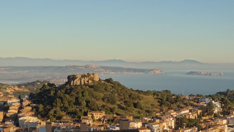
Baix Empordà is the southern portion of the historical region of Empordà. It includes the municipalities between the Montgrí Massif, just north of the river Ter, and the Aro valley, in the south. It totals 37 municipalities, with a total area of 700,5 km2. It borders Alt Empordà to the north, Gironès and Selva to the west and the Mediterranean Sea to the east.
References
Baix Empordà Wikipedia(Text) CC BY-SA