
Country Spain Comarca Baix Empordà Website begur.cat Postal code 17255 | Autonomous community Catalan Elevation 200 m (700 ft) | |
 | ||
Weather 8°C, Wind W at 8 km/h, 86% Humidity Points of interest Aigua Blava, Illa Roja, Far de Sant Sebastià, Cala Aiguablava, Begur Castle | ||
Parador de aiguablava begur spain hd review
Begur is a municipality in the comarca of the Baix Empordà in Catalonia, Spain, on the coastline of the Costa Brava.
Contents
Map of Begur, Province of Girona, Spain
Begur has 3,986 inhabitants (according to the census of 2005). It is an important tourist attraction in the Baix Empordà. During the summer, the population can exceed 40,000 people.
Despite its tourist character, the village has important historical remnants that go back in early history. The castle of Begur is a good example of medieval remains. The castle was constructed in the 16th and 17th centuries.
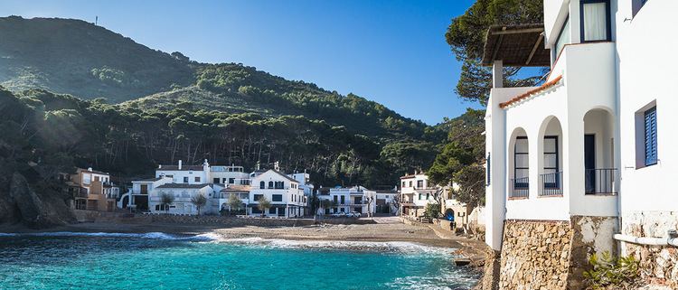
The town of Begur also includes Esclanyà (with a Romanesque old part), Aiguafreda, Sa Riera, Sa Tuna, Aiguablava and Fornells. Some of the most prestigious beaches of the Costa Brava can be found here: Sa Riera, Aiguafreda, sa Tuna, Platja Fonda, Fornells and Aiguablava. The latter is also home to a Parador Hotel.
The municipality includes the following localities:
The annual festival to celebrate St. Tania takes places each November.