
Peak Unnamed hill Length 70 km (43 mi) SW-NE | Elevation 1,276 m (4,186 ft) Width 25 km (16 mi) NW-SE | |
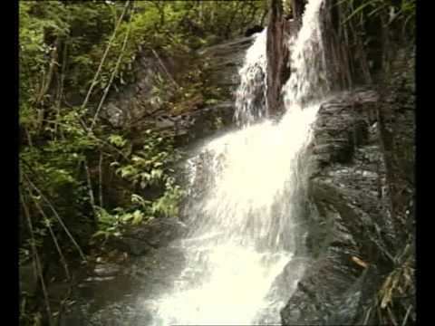 | ||
Bailadila Range, is a mountain range rising in the Deccan Plateau about 200 km west of the Eastern Ghats. It is located near Kirandul town in the Dantewada district of southern Chhattisgarh, India.
Highest point in Chhattisgarh
The range is located in the northeastern area of the Deccan Plateau. It extends in a roughly SW - NE direction for a length of about 70 km south of the Indravati River. Rising to a height of 1,276 m, one of the hills of the Bailadila Range is the highest point in the state of Chhattisgarh.
The hills are located at a distance of about 40 km south west of Dantewada, the district headquarters in the state. Formerly the Biladila slopes were thickly wooded, but the range has been a mining area producing very high grade iron ore and the mineral extraction has left many areas of the mountains scarred.