
Country India Vehicle registration MP Population 16,650 (2011) ISO 3166 code ISO 3166-2:IN | Time zone IST (UTC+5:30) Elevation 567 m Local time Tuesday 8:14 PM | |
 | ||
Weather 23°C, Wind N at 3 km/h, 30% Humidity | ||
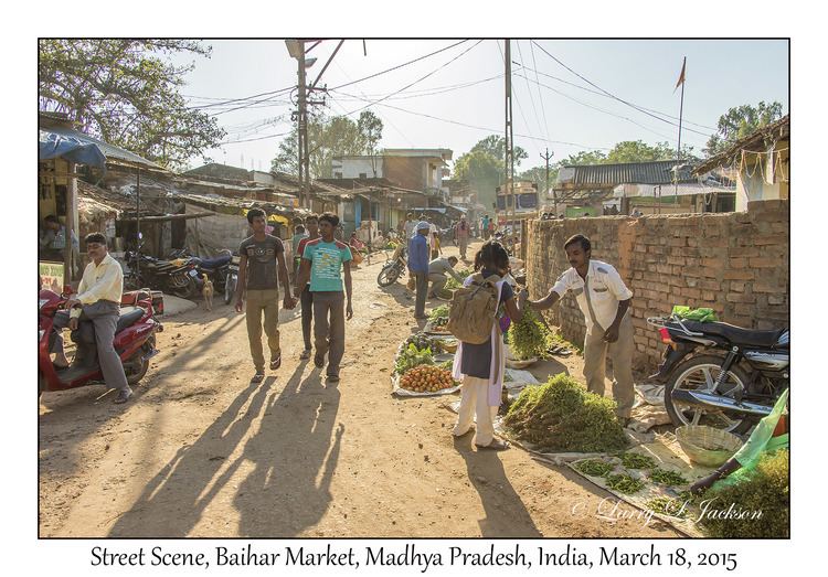
Baihar is a town and a nagar panchayat in Balaghat district in the state of Madhya Pradesh, India.
Contents
- Map of Baihar Madhya Pradesh 481111
- Geography
- Demographics
- Places of interest
- Educational institutes
- References
Map of Baihar, Madhya Pradesh 481111
Geography
Baihar is located at 22.1°N 80.55°E / 22.1; 80.55. It has an average elevation of 567 metres (1860 feet).
Demographics
As of 2001 the India census, showed Baihar had a population of 15,400. Males constitute 51% of the population and females 49%. Baihar has an average literacy rate of 67%, higher than the national average of 59.5%; with 57% of the males and 43% of females literate. 14% of the population is under 6 years of age.
Places of interest
The various places of interest in and around Baihar town are-
Mukki is the gate of Tiger Reserve "Kanha National Park" and has the famous "Jungle Safari Lodge".Other places of natural interest are "Kisli" & "Soopkhar" near Baihar.
Siharpaat is a small hill near Baihar that is like a tabletop and surrounded by greenery. There is a famous Ram (Hindu panwar) temple on the top of that hill and every year there is a big Mela organized on the occasion of the famous Hindu festival Ramnavami,sharad pornima.
Educational institutes
The various educational institutes at Baihar are-