District Kishanganj Lok Sabha constituency Kishanganj Elevation 51 m Local time Tuesday 4:55 PM | Time zone IST (UTC+5:30) Vidhan Sabha constituency Bahadurganj Population 28,224 (2001) | |
 | ||
Weather 27°C, Wind W at 8 km/h, 34% Humidity | ||
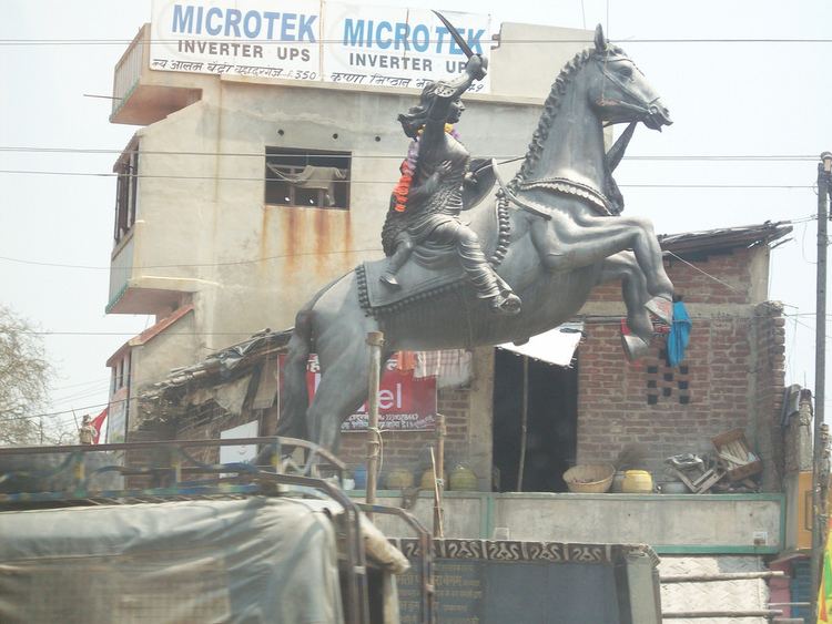
Bahadurganj is a Municipality town nestled in the Tarai of Himalaya and a notified area in Kishanganj district in the state of Bihar, India.
Contents
Map of Bahadurganj, Bihar
Geography
Bahadurganj is located at 26.27°N 87.82°E / 26.27; 87.82. It has an average elevation of 51 metres (167 feet). A part of Nepalgarh District of Nepal Bahadurganj came to be merged with India with the defeat of Nepal with the British Indian forces in 1840. The whole of Kishanganj distt along with Darjeeling distt came under the occupation of British India since then.
Demographics
As of 2001 India census, Bahadurganj had a population of 28,224. Males constitute 53% of the population and females 47%. Bahadurganj has an average literacy rate of 34%, lower than the national average of 59.5%; with 69% of the males and 31% of females literate. 21% of the population is under 6 years of age.
