
Postal code 34473 | Region Marmara Time zone EET (UTC+2) Area code 0–212 | |
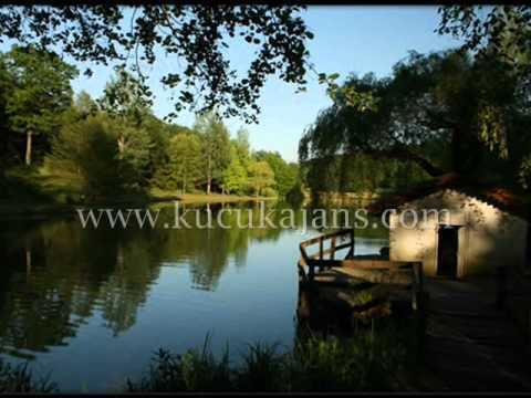 | ||
Bahçeköy is a neighborhood of Sarıyer district in Istanbul Province, Turkey.
Contents
- Map of BahC3A7ekC3B6y Merkez BahC3A7ekC3B6y Merkez Mahallesi SarC4B1yer2FC4B0stanbul Turkey
- Background
- References
Map of Bah%C3%A7ek%C3%B6y Merkez, Bah%C3%A7ek%C3%B6y Merkez Mahallesi, Sar%C4%B1yer%2F%C4%B0stanbul, Turkey
Bahçeköy is situated 8 km (5.0 mi) from Sarıyer.It is bordered by Fatih Forest, Çayırbaşı, Büyükdere, Kemerburgaz, Zekeriyeköy and Gümüşdere.
Institutions within its boundaries are Faculty of Forestry, Forestry Administration, Water and Sewerage Authority. A number of historic dams, Belgrad Forest, Bentler Nature Park, Atatürk Arboretum are visitor attractions of Bahçeköy.
Background
The establishment of Bahçeköy goes back to 1521 in the Ottoman Empire. Later, Muslim Turks from Salonica Vilayet, former territory of the Ottoman Empire, were setlled here in the frame of population exchange between Greece and Turkey agreed with the Treaty of Lausanne in 1923. The settlement received migration from all over Turkey. As of 2010, the population of Bahçeköy is 3,870.
Following a local referendum, the settlement gained the right to be converted from a village status into a municipality. The first mayor election took place in 1997. In 2008, Constitutional Court of Turkey annulled its status as a municipality, and it became a neighborhood of Sarıter district.