
Elevation 1,676 m | Time zone PST | |
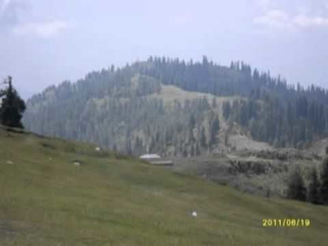 | ||
Panjal mastan bagh azad kashmir
Bagh City (Urdu: باغ ) is the chief town and district headquarters of the Bagh District, in Azad Kashmir, Pakistan. The town is situated on the confluence of two small nullahs, Malwani & Mall.
Contents
Map of Bagh
Language and history
Pahari, Potohari, Majhi and Gojri dialects of Punjabi Language are the predominant languages spoken in Bagh.
Before getting the status of an independent district in 1987, Bagh was a part of District Poonch. Topographically, the district is quite mountainous. The altitude of Bagh Valley is 3405 feet (1038m)
2005 earthquake
On 8 October 2005, Bagh was hit by a devastating earthquake that killed 8500 people, which represented 10% of the population of 85,000.
Geography
Bagh is located 80 Kilometres from Muzaffarabad, the capital city of Azad Kashmir. It is 160 Kilometres from Islamabad, the capital of Pakistan.
The town is situated on the confluence of two mini nallahs, Mahlwani and Mahl, which flow all the year round. The locally recognized "Haji Peer Pass" is about 32 kilometres from Bagh City. In 2011-2012, the population was 87,523. Middle-standard hotels and forest rest-houses are available for visitors, and basic necessities are available in the Bagh bazaars.