
Admin. region Köln Time zone CET/CEST (UTC+1/+2) Area 27.77 km² Population 27,898 (31 Dec 2010) Dialling code 02401 | Postal codes 52499 Local time Tuesday 9:02 AM Postal code 52499 Administrative region Cologne | |
 | ||
Weather 6°C, Wind SW at 32 km/h, 67% Humidity | ||
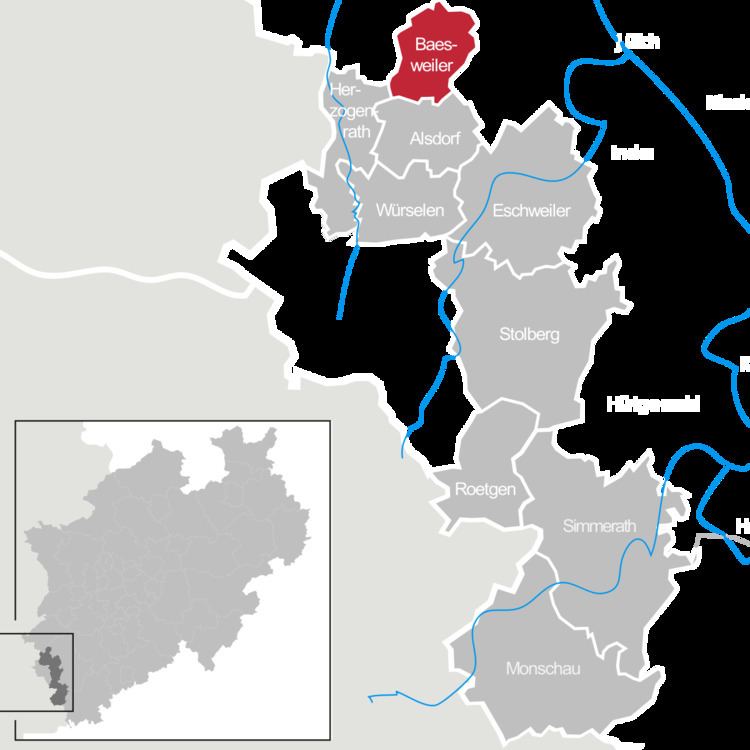
Baesweiler ( [ˈbaːsvaɪlɐ]) is a municipality in the district of Aachen, North Rhine-Westphalia, Germany.
Contents
- Map of 52499 Baesweiler Germany
- Geography
- Neighbouring municipalities
- Division of the municipality
- History
- Population development
- International relations
- Sons and daughters of the town
- References
Map of 52499 Baesweiler, Germany
Geography
Baesweiler is located approximately 20 km north-east of Aachen.
Neighbouring municipalities
Division of the municipality
The municipality has seven subdivisions since a local government reform in 1972 (populations as of January 2007):
History
In 1371 a battle took place between the armies of Wenceslaus I, duke of Brabant on one hand, and Gulik and Gelre on the other. Wenceslaus, upon his capture, suffered a humiliating defeat.
Population development
International relations
Baesweiler is twinned with:
Sons and daughters of the town
References
Baesweiler Wikipedia(Text) CC BY-SA