
Postcode(s) 2333 Postal code 2333 Federal division Division of Hunter | Time zone AEST (UTC+10) Parish Baerami Elevation 165 m Local time Tuesday 7:01 PM | |
 | ||
Weather 23°C, Wind SE at 21 km/h, 69% Humidity | ||
Baerami is a locality in the Muswellbrook Shire in the Upper Hunter region of New South Wales, Australia.
Map of Baerami NSW 2333, Australia
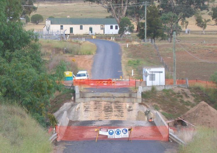
The Bylong Valley Way crosses the Baerami Creek via Kirks Bridge at Baerami. Downstream of the bridge, the creek meets its confluence with the Goulburn River.
The Sandy Hollow-Gulgong goods railway line passes through the locality.
Points of interest include Baerami Community Hall, James Estate, Dingo Gully, and the old Baerami Catholic Church.
References
Baerami, New South Wales Wikipedia(Text) CC BY-SA