
Elevation 8 m Local time Tuesday 1:08 PM | Time zone IST (UTC+5:30) Lok Sabha constituency Basirhat Population 47,418 (2001) | |
 | ||
Weather 31°C, Wind NW at 8 km/h, 26% Humidity | ||
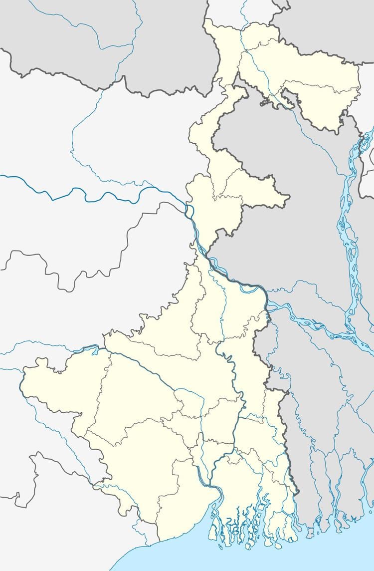
Baduria is a town and a municipality and police station of Basirhat subdivision in North 24 Parganas district in the state of West Bengal, India.
Contents
Map of Baduria, West Bengal
Geography
Baduria is located at 22.74°N 88.79°E / 22.74; 88.79. It has an average elevation of 8 metres (26 feet).
Demographics
As of 2001 India census, Baduria had a population of 47,418. Males constitute 51% of the population and females 49%. Baduria has an average literacy rate of 67%, higher than the national average of 59.5%; with 55% of the males and 45% of females literate. 13% of the population is under 6 years of age.
Healthcare
Baduria is one of the areas where ground water is affected by arsenic contamination.
References
Baduria Wikipedia(Text) CC BY-SA