Established 1914 Founded 1914 Postal code 6383 | Postcode(s) 6383 Elevation 230 m Local time Tuesday 2:07 PM | |
 | ||
Location 178 km (111 mi) East of Perth10 km (6 mi) East of Quairading51 km (32 mi) North West of Corrigin Weather 33°C, Wind E at 11 km/h, 31% Humidity | ||
Badjaling is a small town in the Wheatbelt region of Western Australia located close to the Salt River.
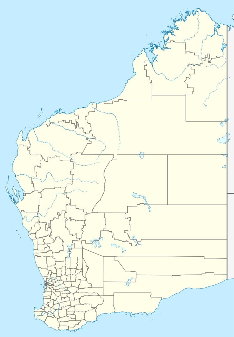
Map of Badjaling WA 6383, Australia
The townsite was originally declared as Yuruga in 1914 but the name was changed to Badjaling later the same year. The word Badjalling is the Aboriginal name for the nearby soak and springs. The meaning of the word badjal is a term for the feathers being discarded as a bird is plucked.
In 1932 the Wheat Pool of Western Australia announced that the town would have two grain elevators, each fitted with an engine, installed at the railway siding.
References
Badjaling, Western Australia Wikipedia(Text) CC BY-SA
