
Country Germany Admin. region Oberbayern Time zone CET/CEST (UTC+1/+2) Area 32.66 km² Population 2,465 (31 Dec 2008) Dialling code 08845 | Postal codes 82433 Local time Tuesday 12:40 AM Postal code 82433 | |
 | ||
Weather 4°C, Wind S at 10 km/h, 59% Humidity | ||
Bad Kohlgrub is a German municipality in the district of Garmisch-Partenkirchen, in Bavaria. It lies 12 kilometres (7.5 mi) west of Murnau am Staffelsee and 8 kilometres (5.0 mi) north of Oberammergau, and is connected to both by the Ammergau Railway.
Contents
Map of Bad Kohlgrub, Germany
Skiing facilities include 4 ski lifts, 4 pistes and 30 kilometres (19 mi) of cross-country skiing trails. A chairlift (opened 1954) south of the town leads up to the Hörnlehütte below the summit of the Hörnle mountain (1,547 metres/5,075 ft).
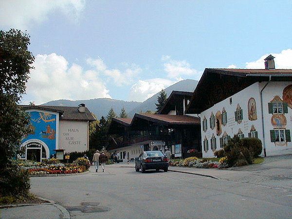
Stra enfest bad kohlgrub 2013
References
Bad Kohlgrub Wikipedia(Text) CC BY-SA