
Country Thailand Tambon 6 Time zone ICT (UTC+7) Area 171.7 km² Province Narathiwat Province | Seat Bacho Muban 46 Postal code 96170 Population 52,288 (2014) | |
 | ||
Tourist attractions in narathiwat bacho district
Bacho (Thai: บาเจาะ) is the northernmost district (amphoe) of Narathiwat Province, southern Thailand.
Contents
- Tourist attractions in narathiwat bacho district
- Map of Bacho District Narathiwat Thailand
- History
- Geography
- Central administration
- Local administration
- References
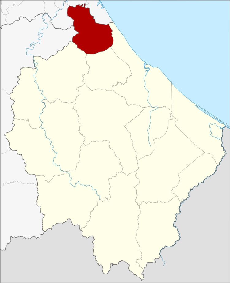
Map of Bacho District, Narathiwat, Thailand
History
In 1908 the district was established as the minor district (king amphoe) Champako (จำปากอ), which was upgraded to a full district the following year. In 1917 the district was renamed to Bacho.
The district was part of the province Sai Buri, which was abolished in 1932. While Sai Buri district came to Pattani province, Bacho was added to Narathiwat.
Geography
Neighboring districts are (from the east clockwise) Mueang Narathiwat, Yi-ngo and Rueso of Narathiwat Province, Raman of Yala Province, and Kapho, Sai Buri, and Mai Kaen of Pattani Province.
Budo - Su-ngai Padi National Park is in the mountains at the border to Yala and Pattani.
Central administration
The district Bacho is subdivided into 6 subdistricts (Tambon), which are further subdivided into 46 administrative villages (Muban).
Local administration
There are 2 subdistrict municipalities (Thesaban Tambon) in the district:
There are 6 subdistrict administrative organizations (SAO) in the district: