
Administrative center settlement of Babynino Rural localities 120 Founded 1929 | Urban-type settlements 1 Area 846.6 km² | |
 | ||
Municipally incorporated as | ||
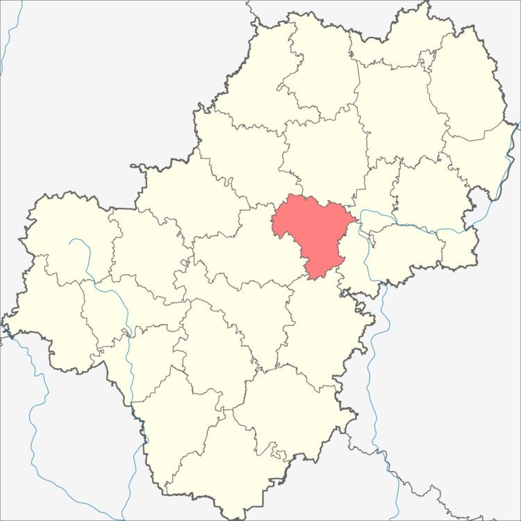
Babyninsky District (Russian: Бабы́нинский райо́н) is an administrative and municipal district (raion), one of the twenty-four in Kaluga Oblast, Russia. It is located in the center of the oblast. The area of the district is 845 square kilometers (326 sq mi). Its administrative center is the rural locality (a settlement) of Babynino. Population: 21,041 (2010 Census); 22,143 (2002 Census); 16,178 (1989 Census). The population of Babynino accounts for 17.7% of the district's total population.
Contents
Map of Babyninsky District, Kaluzhskaya Oblast, Russia
Geography
Babyninsky District is located in the center of Kaluga Oblast, on flat terrain. The district is immediately west of the city of Kaluga, and about 180 km southwest of Moscow. The M3 Moscow-Ukraine Highway runs diagonally through the middle of the district, and the Old Smolensk Road runs across the north. The area measures 35 km (north-south), and 35 km (west-east). The administrative center is the town of Babynino.
The district is bordered on the north by Yukhnovsky District, on the east by Peremyshlsky District and the city of Kaluga, on the south by Kozelsky District, and on the west by Meshchovsky District.