
District Sambhal PIN 243751 Population 14,554 (2011) Area code 05836 | Time zone IST (UTC+5:30) Elevation 177 m Local time Monday 9:04 PM | |
 | ||
Area rank Real way fatal wali gali Weather 19°C, Wind NW at 6 km/h, 45% Humidity | ||
Babrala (Hindi: बबराला ) is a town and a nagar panchayat in Sambhal district in the state of Uttar Pradesh, India. Town is located near Narora Atomic Power Staion. The prestigious Tata Chemicals Limited Plant is also located in babrala with Installed capacity of 864,600 tonnes of urea per year.
Contents
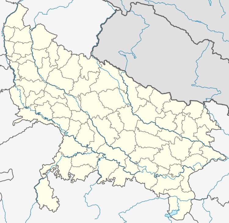
Map of Babrala, Uttar Pradesh 243751
Geography
Babrala is located at 28.27°N 78.4°E / 28.27; 78.4. It has an average elevation of 177 metres (580 feet).
Demographics
As of 2001 India census, Babrala had a population of 14,447. Males constitute 53% of the population and females 47%. Babrala has an average literacy rate of 56%, lower than the national average of 59.5%; with 60% of the males and 40% of females literate. 17% of the population is under 6 years of age.
References
Babrala Wikipedia(Text) CC BY-SA