
Vehicle registration WB Local time Monday 8:52 PM | Time zone IST (UTC+5:30) Website nadia.nic.in Population 6,565 (2001) | |
 | ||
Weather 22°C, Wind NE at 2 km/h, 50% Humidity | ||
Bablari Dewanganj (Bengali: বাবলারি দেওয়ানগঞ্জ) is a census town under Nabadwip police station of Krishnanagar subdivision in Nadia district in the state of West Bengal, India.
Contents
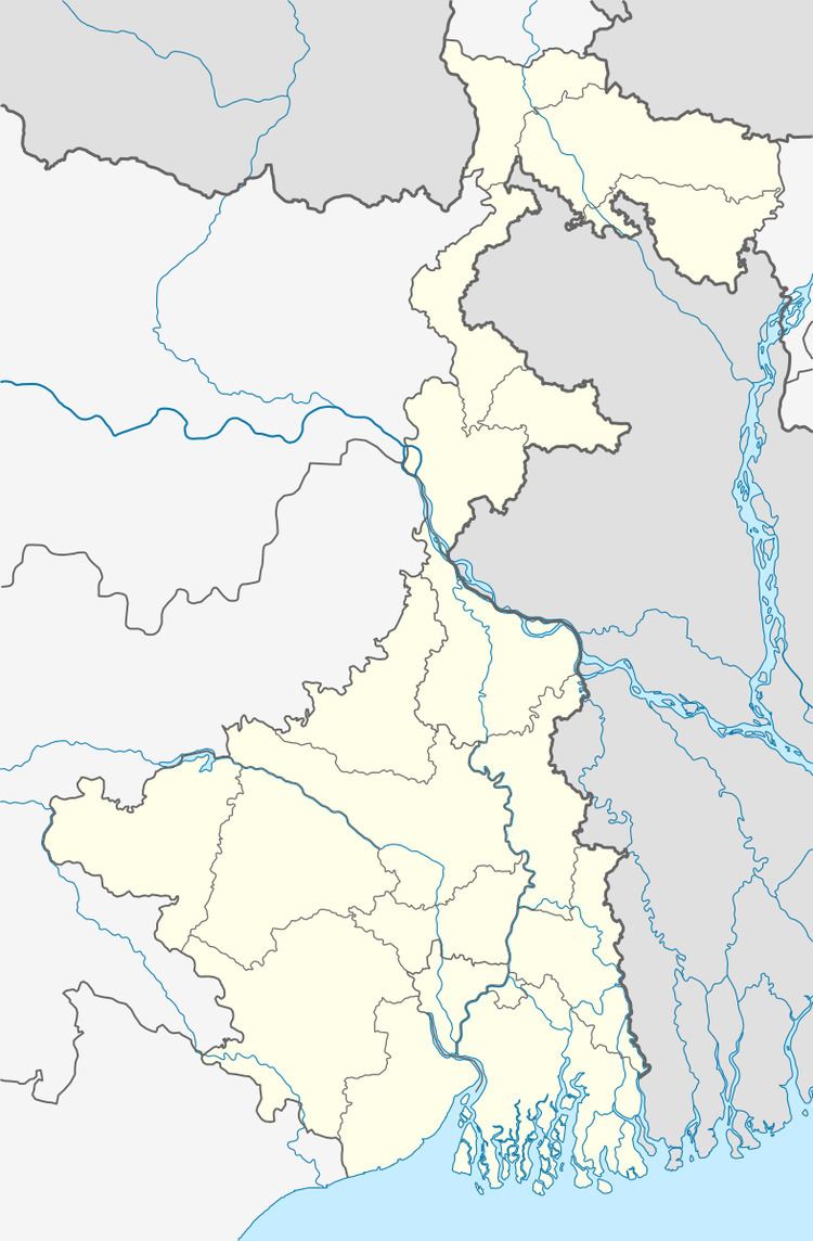
Map of Bablari Dewanganj, West Bengal 741316
Geography
Nadia district is mostly alluvial plains lying to the east of Hooghly River, locally known as Bhagirathi. The alluvial plains are cut across by such distributaries as Jalangi, Churni and Ichhamati. With these rivers getting silted up, floods are a recurring feature.
Demographics
As of 2001 India census, Bablari Dewanganj had a population of 6565. Males constitute 50% of the population and females 50%. Bablari Dewanganj has an average literacy rate of 68%, higher than the national average of 59.5%; with 56% of the males and 44% of females literate. 11% of the population is under 6 years of age.