
Vehicle registration UP Elevation 303 m Local time Monday 8:38 PM | Time zone IST (UTC+5:30) Website up.gov.in Population 35,542 (2001) | |
 | ||
Weather 21°C, Wind E at 5 km/h, 35% Humidity | ||
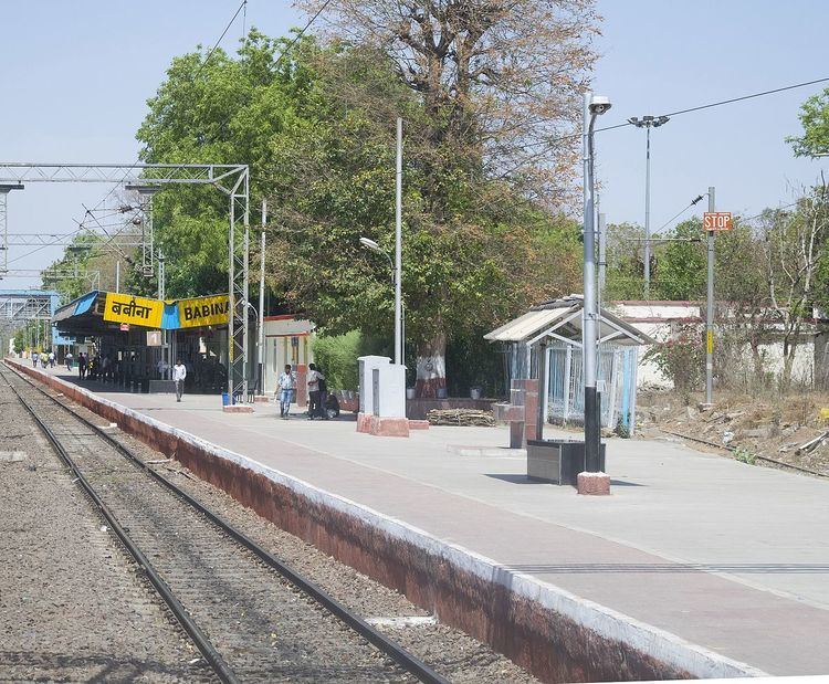
Babina is a cantonment town in Jhansi district in the state of Uttar Pradesh, India. This British base near Jhansi was created during the British Raj and passed to the Dominion of India on partition in 1947.
Contents
Map of Babina, Uttar Pradesh 284401
Indian Army
Jhansi district is the headquarters of the 31st Indian Armoured Division, stationed at Jhansi-Babina. It is an armoured division which has equipment like M3 Lee and M4 Sherman tanks. There has been a joint exercise with the Singaporean Army at Jhansi witnessed by the President of India, Pratibha Patil.
Geography
Babina is located at 25.25°N 78.47°E / 25.25; 78.47. It has an average elevation of 303 metres (994 feet).
Demographics
As of 2001 India census, Babina had a population of 31,947. Males constitute 62% of the population and females 38%. Babina has an average literacy rate of 73%, higher than the national average of 59.5%; with 69% of the males and 31% of females literate. 13% of the population is under 6 years of age.