
Gmina Babimost Climate Cfb Area 3.62 km² Local time Monday 4:05 PM Number of airports 1 | Postal code 66-110 Population 4,150 (2006) | |
 | ||
Weather 13°C, Wind S at 18 km/h, 47% Humidity | ||
Babimost [baˈbʲimɔst] (German: Bomst) is a small town in Poland in Zielona Gora County, Lubusz Voivodeship. It is the administrative seat of Gmina Babimost.
Contents
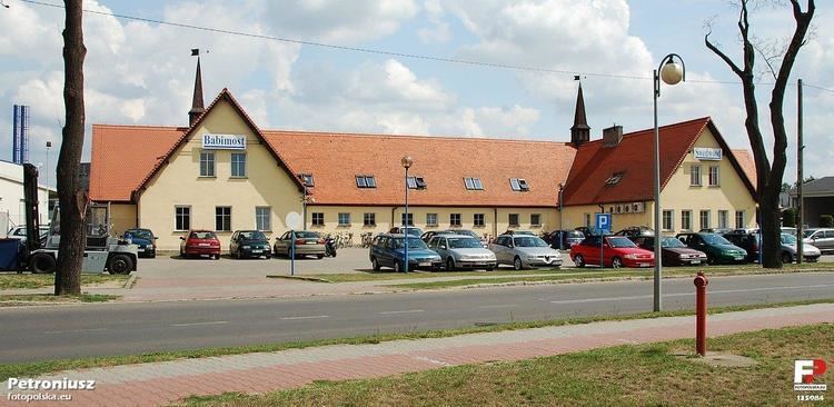
Map of Babimost, Poland
Geography
The town is situated on the Leniwa Obra creek, about 20 km (12 mi) northeast of Sulechów and about 75 km (47 mi) west of Poznań. Though located in Lubusz Voivodeship, Babimost is part of the Greater Poland historic region.
History
The settlement probably arose about 1000 AD around a castellany located at a crossing through the swampy Leniwa Obra river. The estates were held by the Pomeranian Swienca family until 1307; together with nearby Sulechów, they were acquired by Margrave Waldemar of Brandenburg in 1319, who nevertheless died in the same year. By 1329, they were held by the Silesian duke Henry IV the Faithful, then a Bohemian vassal. Finally incorporated into the Polish Poznań Voivodeship, Babimost received town privileges according to Magdeburg Law by King Władysław II Jagiełło in 1397.
King Sigismund the Old confirmed the city rights in 1530. After the Protestant Reformation, the population increased due to the influx of religious refugees from Silesia. During the Second Northern War, Babimost was devastated by Swedish troops in 1656. The reconstruction of a synagogue is documented around 1700, a Protestant church was erected in 1782. The inhabitants were shoe manufacturers, linen producers and hop (beer) and wine producers.
Upon the Second Partition of Poland in 1793, the town fell to Prussia and was incorporated into the Grand Duchy of Posen. Between 1818 and 1938 it was part of the Bomst district within the Prussian Regierungsbezirk Posen, though the administrative seat was at Wollstein (Wolsztyn). When the town became part of the German Empire in 1871, it had 2272 inhabitants, of whom 1042 were Catholics (mostly Poles), 1070 were Protestants (mostly Germans) and 160 Jewish. After the Greater Poland Uprising and the territorial changes following World War I, the town lay on the border with the Second Polish Republic; although remaining with the German province of Posen-West Prussia and from 1938 to 1945 as part of the Province of Brandenburg, while up to a third of its residents were Poles. In 1939, 1950 inhabitants were registered as citizens of the town, of whom 600 were ethnic Polish.
After the Vistula–Oder Offensive of the Red Army in the late days of World War II, large parts of the town lay in ruins.
Twin towns
Babimost is twinned with: