
Country Ethiopia Zone Misraq Hararghe Elevation 1,648 m Population 16,454 (2005) | Region Oromia Time zone EAT (UTC+3) Local time Monday 6:04 PM | |
 | ||
Weather 23°C, Wind E at 5 km/h, 49% Humidity | ||
Babille is a town in eastern Ethiopia. Named after one of the 12 major clans of the Oromo people (the Babille Oromo), it is located in the Misraq Hararghe Zone of the Oromia Region, 30 kilometers east of Harar. The town has a latitude and longitude of 09°13′N 42°20′E with an elevation of 1648 meters above sea level.
Contents
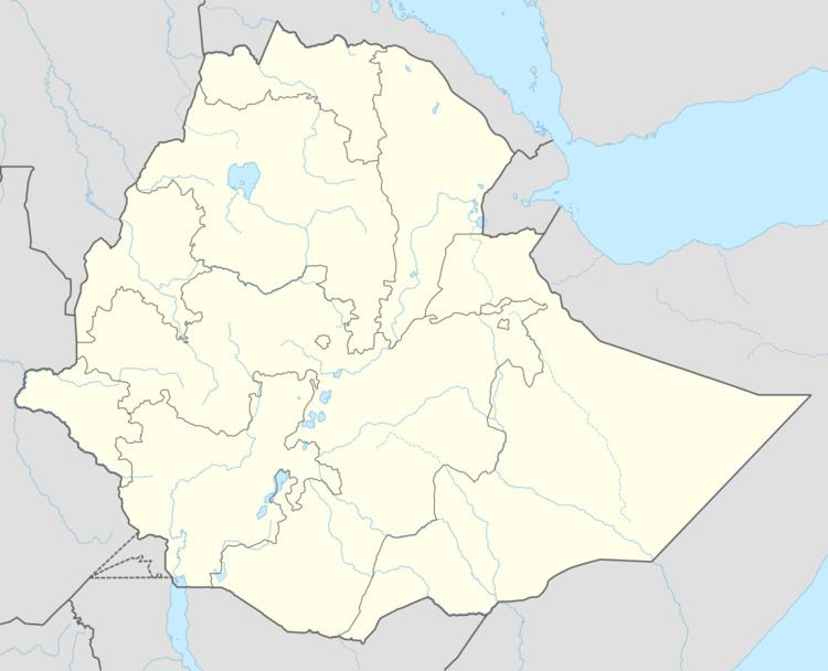
Map of Babile, Ethiopia
Overview
Located on the main road between Harar and Jijiga, Babille is reported to have had telephone service by 1967.
Babille is known for its hot springs, mineral water and the Babille Elephant Sanctuary. The Dakhata Valley (also called the "Valley of Marvels"), known for its rock formations and birdlife, lies seven kilometers from the town. Also nearby is the pass known as the Babille Gap, which has been used at least twice as a strongpoint held against invaders: once by the Italians in 1941 during the Second World War, and later by the Ethiopian army in 1977 during the Ogaden War against the Somali army.
Demographics
Based on figures from the Central Statistical Agency in 2005, this town has an estimated total population of 16,454 of whom 8,386 are men and 8,068 are women. The 1994 national census reported this town had a total population of 9,195 of whom 4,548 were men and 4,647 were women. It is the largest town in Babille, Oromia woreda.