
Administrative center selo of Babayurt Rural localities 22 | Federal subject Republic of Dagestan Selsoviets 7 Area 3,255 km² | |
 | ||
Municipally incorporated as | ||
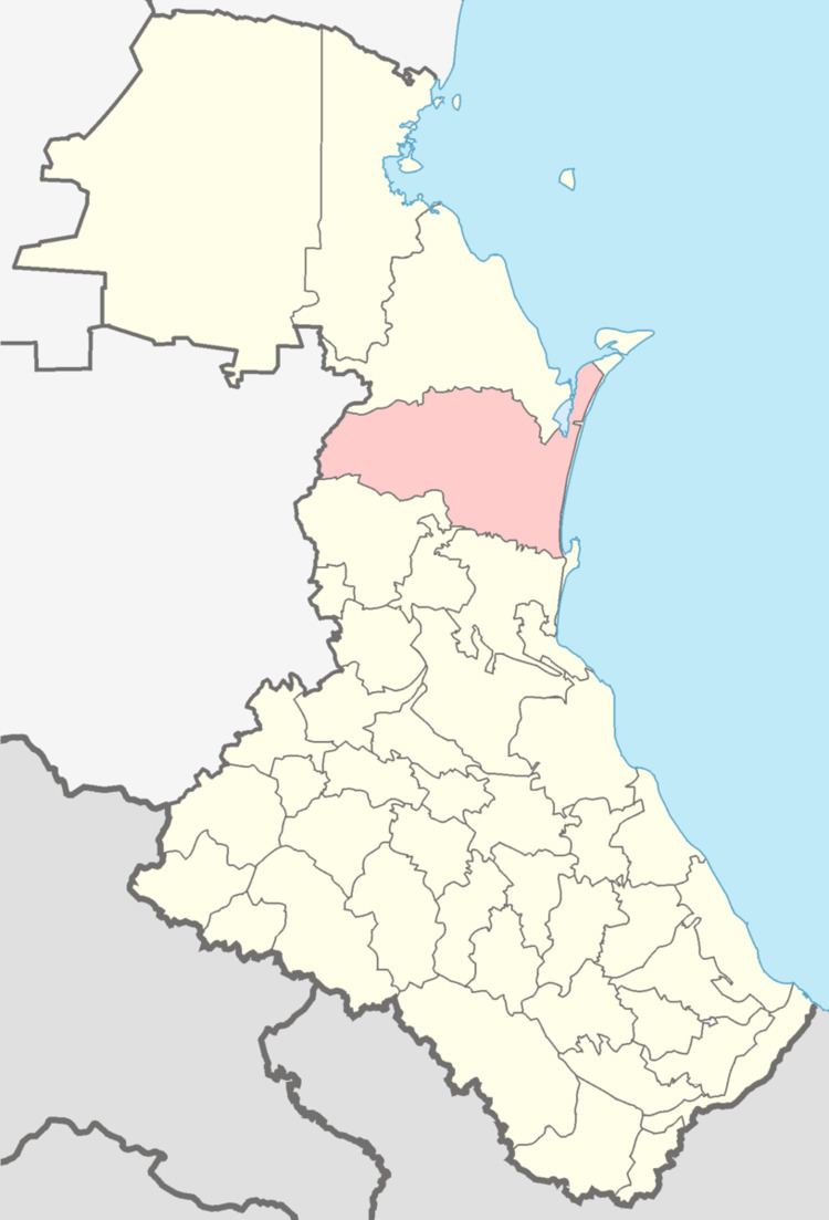
Babayurtovsky District (Russian: Бабаю́ртовский райо́н; Kumyk: Бабаюрт район; Avar: Дибиросул мухъ) is an administrative and municipal district (raion), one of the forty-one in the Republic of Dagestan, Russia. It is located in the northern central part of the republic. The area of the district is 3,262.3 square kilometers (1,259.6 sq mi). Its administrative center is the rural locality (a selo) of Babayurt. As of the 2010 Census, the total population of the district was 45,701, with the population of Babayurt accounting for 33.3% of that number.
Contents
Map of Babayurtovsky District, Dagestan Republic, Russia
Administrative and municipal status
Within the framework of administrative divisions, Babayurtovsky District is one of the forty-one in the Republic of Dagestan. The district is divided into seven selsoviets which comprise twenty-two rural localities. As a municipal division, the district is incorporated as Babayurtovsky Municipal District. Its seven selsoviets are incorporated as fifteen rural settlements within the municipal district. The selo of Babayurt serves as the administrative center of both the administrative and municipal district.