
District Varanasi district Time zone IST (UTC+5:30) Elevation 83 m | Postal code 221206 Population 2,293 (2011) | |
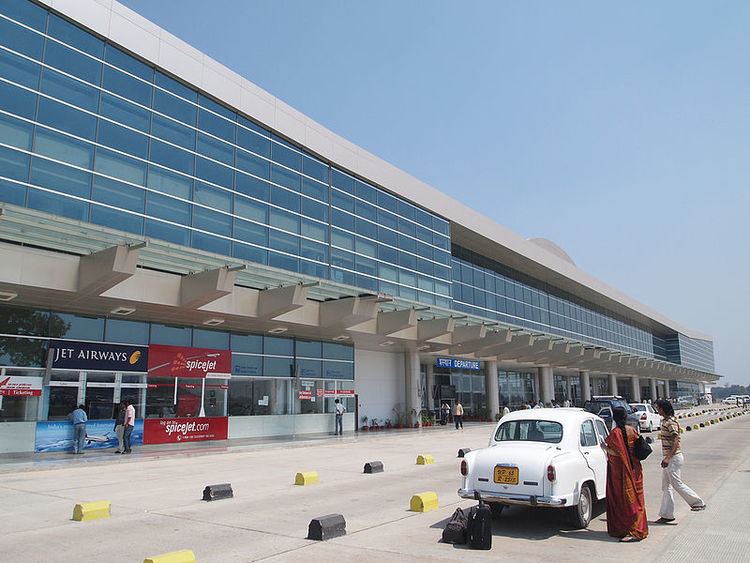 | ||
Babatpur is a village in Pindra Tehsil of Varanasi district in the Indian state of Uttar Pradesh. The village falls under gram panchayat by the same name as the village. The village also houses Lal Bahadur Shastri Airport (a.k.a. Babatpur Airport) which serves Varanasi district. The village is about 26 kilometers North-West of Varanasi city, 260 kilometers South-East of state capital Lucknow and 797 kilometers South-East of the national capital Delhi.
Contents
Map of Babatpur, Uttar Pradesh
Demography
Babatpur has a total population of 2,293 people amongst 339 families. Sex ratio of the village is 897 and child sex ratio is 811. Uttar Pradesh state average for both ratios is 912 and 902 respectively [note].
Transportation
Babatpur can be accessed by air (Lal Bahadur Shastri Airport), train (Babatpur railway station) and by road. Nearest operational airports are Varanasi airport (500 meters) and Allahabad Airports (137 kilometres West).