
Population 25 (?) Postcode(s) 6428 Founded 1914 Local time Monday 9:57 PM | Established 1914 Postal code 6428 | |
 | ||
Weather 23°C, Wind SE at 19 km/h, 58% Humidity | ||
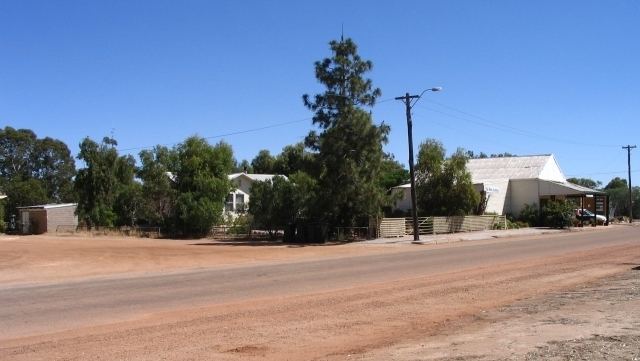
Babakin is a small town located in the Wheatbelt region of Western Australia between the towns of Bruce Rock and Corrigin. It has a population of approximately 25 people, and provides the local farming community with a school, shop, hall and sporting facilities.
Map of Babakin WA 6428, Australia
Babakin was a pastoral lease from 1873 to 1914 at this location, first taken up by C. Heal (Jnr). The name stems from a Noongar term for the dingo.
In 1932 the Wheat Pool of Western Australia announced that the town would have two grain elevators, each fitted with an engine, installed at the railway siding.
The area is an inhabitant area for a very rare plant species, the Western Underground Orchid (Rhizanthella gardneri).
References
Babakin, Western Australia Wikipedia(Text) CC BY-SA