
Time zone CET (UTC+1) Area code(s) +381(0)21 Area 158 km² Population 6,063 (2011) | Postal code 21470 Car plates NS Elevation 86 m Local time Tuesday 11:14 PM | |
 | ||
Weather 13°C, Wind S at 11 km/h, 52% Humidity Neighborhoods A - Blok, B - Block, C - Block | ||
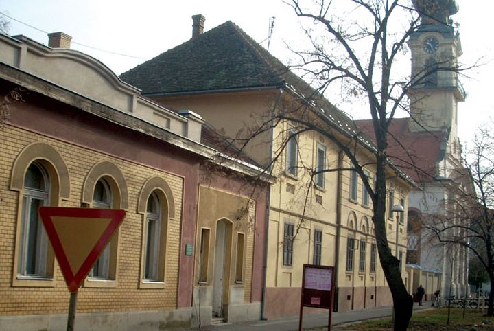
Bački Petrovac (Serbian Cyrillic: Бачки Петровац, Slovak: Báčsky Petrovec) is a town and municipality located in the South Bačka District of the autonomous province of Vojvodina, Serbia. The town has a population of 6,063, while Bački Petrovac municipality has 13,302 inhabitants.
Contents
- Map of BaC48Dki Petrovac Serbia
- Name
- Inhabited places
- History
- Economy
- Ethnic groups in the municipality
- Settlements by ethnic majority
- Ethnic groups in the town
- Historical population of the town
- Politics
- Twin towns Sister cities
- References
Map of Ba%C4%8Dki Petrovac, Serbia
Name
In Serbian Cyrillic the town is known as Бачки Петровац, in Serbian Latin as Bački Petrovac, in Slovak as Petrovec or Báčsky Petrovec, in Hungarian as Petrőc, and in German as Petrovacz.
Inhabited places
Bački Petrovac municipality includes the town of Bački Petrovac and the following villages:
Note: for the places with Slovak majority, the names are also given in Slovak.
Bački Petrovac is economical, cultural and administrative center of the municipality. It is a settlement of a town character, while the other three are villages of Pannonian type.
History
Being in south Bačka which according to special climatic and other conditions is one of the most fertile parts of Serbia, very suitable for settling down, here in this region people made their settlements very early. The first written records about Petrovac appears in the 13th century when Petrovac is mentioned as a church parish belonging to Bač County. Later that name is changed into Petrovac. Its first inhabitants were the Hungarians and Serbs. In the first half of the 18th century (1745) the Slovaks settled here. Since then Petrovac developed so that it represents cultural, economic, clerical and political center of the Slovaks in this region.
Economy
Agriculture is the most important economic activity based on the production of field crops (wheat, corn, broom weed, sugar beet, hop), cattle, breeding dud ponetry and vegetable crops. Besides agriculture there is also some industry manufacture, metal and chemical. Manufacture of wood civil engineering, printing activities, etc.
Ethnic groups in the municipality
The ethnic Slovaks form a majority of the population in the municipality. There are 9,751 ethnic Slovaks in the municipality or 66% of population. Other ethnic groups are: Serbs (3,779 or 25.74%), Yugoslavs (293 or 1.99%), and others.
Settlements by ethnic majority
Settlements with Slovak majorities are: Bački Petrovac (Slovak: Báčsky Petrovec), Gložan (Slovak: Hložany), and Kulpin (Slovak: Kulpín). There is one settlement with a Serb majority: Maglić.
Ethnic groups in the town
Population of the town of Bački Petrovac include 5,549 Slovaks, 573 Serbs, 169 Yugoslavs, and others.
The town is located in southern Bačka (hence the name), some 25 km northwest of Novi Sad, the capital of Vojvodina. It is the cultural center of Slovaks in the province, and other places in the eponymous municipalities are also inhabited by many Slovaks.
Historical population of the town
Politics
Seats in the municipality parliament won in the 2012 local elections: [1]
Twin towns — Sister cities
Bački Petrovac is twinned with: