
First ascent Unknown Elevation 1,332 m | Province Province of Ciudad Real | |
 | ||
Location Ciudad Real Province(Castile-La Mancha) Similar Torre de Cerredo, Pico Almanzor, Teleno, La Villuerca, Turó de l'Home | ||
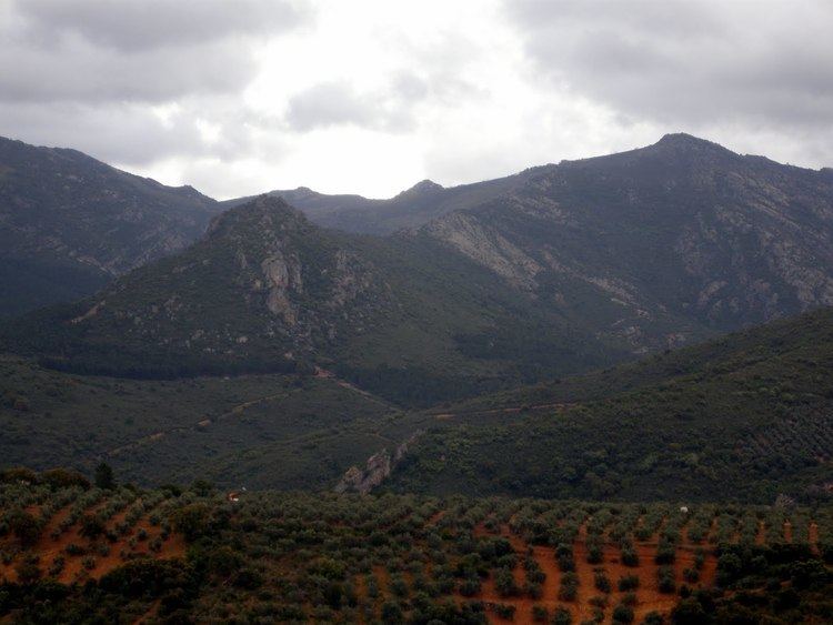
Bañuela or La Bañuela, also known as La Mójina, is the highest peak of the Sierra Morena, Spain.
Contents
Map of Ba%C3%B1uela, 13130, Ciudad Real, Spain
DescriptionEdit
The mountain is 1,332 m high and it is located in a range known as Sierra de Navalmanzano, part of the Sierra Madrona range, at the southern end of Ciudad Real Province, Castile-La Mancha. It is mostly covered with matorral scrubland where plants such as Cistus, Erica and rosemary predominate.
There is a good hiking route to reach the peak starting from Fuencaliente, but there is no marked path to reach the peak after reaching a certain height. This makes it difficult to find the summit in misty weather. There is a triangulation pillar on the crest, but it is not exactly at the highest point, which is located nearby.
References
Bañuela Wikipedia(Text) CC BY-SA