
West-north-west end: A148 Thursford Length 13.2 km | East-south-east end: B1149 Saxthorpe | |
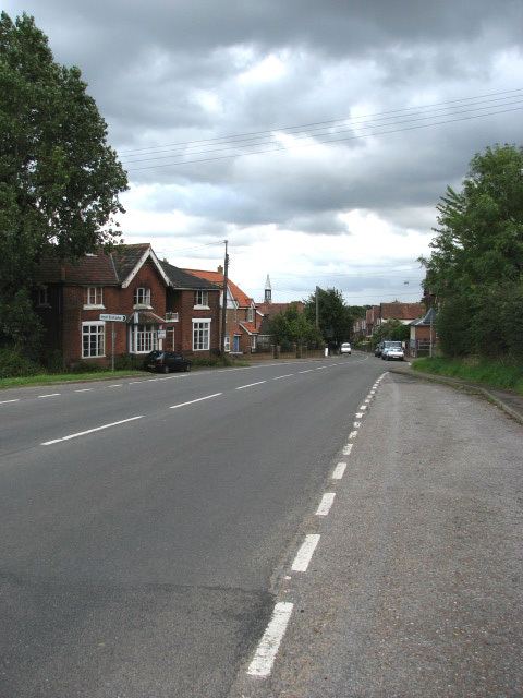 | ||
The B1354 runs for about 8.2 miles (13.2 km) between the A148 at Thursford and the B1149 at Saxthorpe, and is entirely within the county of Norfolk. The road is the main route of access to Norwich and to Fakenham for the large villages of Melton Constable and Briston. The road then resurfaces again at the A140 in Hainford and continues to Hoveton ending at a A1151.
Contents
- Map of B1354 Briston Melton Constable NR24 UK
- Thursford to Corpusty and Saxthorpe
- Hainford to Hoveton
- Points of interest
- Destinations
- References
Map of B1354, Briston, Melton Constable NR24, UK
Thursford to Corpusty and Saxthorpe
The route of this old thoroughfare can be clearly made out on William Faden’s map of Norfolk which was surveyed between 1790 and 1794. This map, the first large-scale map (at one inch to the mile) of the whole county, is a record of the landscape and transport system of the county of Norfolk in the late 18th century, and shows that despite the Parliamentary Enclosure of the early 19th century the route has changed very little. Much of the route on the map is highlighted in a pale pink which marks it out as an important artery of the time. In recent years the roads route has been redirected from its junction with the A148 at Thursford for a distance of 1.7 miles (2.7 km) and now takes the route of the old track bed of the Midland and Great Northern Joint Railway route between Melton Constable and Fakenham.
Hainford to Hoveton
The road then resurfaces at the Village of Hainford on the A140. The road continues through the villages of Hainford and Frettenham before reaching a mini roundabout in Horstead. Here the road multiplexes with the B1150 over the Coltishall Bridge into the Village of Coltishall. The road leaves the B1150 at Coltishall Island before continuing past Coltishall Common into the Village of Belaugh before reaching the large village of Hoveton where the road ends at the A1151.
Points of interest
At the point on the route were the road leaves the old track bed and returns to its original course the road passes the old Gunthorpe level crossing gatehouse and signal box on the Midland and Great Northern Joint Railway, which has been restored to its former glory and is now a tea room.
Heading from the West-north-west end, 3 miles (4.8 km) on the road reaches Melton Constable and on the south side of the road there is an industrial area that was once the site of the busy junction of four railway lines. The lines which came from Cromer, North Walsham, King's Lynn and Norwich and linked Norfolk to the Midlands. There was once a station with a platform 800 feet (240 m) long and Midland and Great Northern Joint Railway's main workshops and factory were also situated here. This made this road a busy and important part of Norfolk’s transport infrastructure.
Destinations
Travelling from West-north-west East-south-east the road passes through :