
Country Vietnam Capital Phố Ràng Area 821 km² Province Lao Cai Province | Region Northeast Time zone UTC + 7 (UTC+7) Local time Friday 3:42 AM | |
 | ||
Weather 14°C, Wind NW at 5 km/h, 84% Humidity | ||
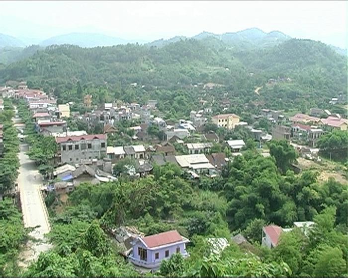
Bảo Yên is a rural district of Lào Cai Province in the Northeast region of Vietnam. As of 2003, the district had a population of 73,924. The district covers an area of 821 km². The district capital lies at Phố Ràng. The Giáy language is spoken in some parts of the district by local minorities.
Contents
Map of B%E1%BA%A3o Y%C3%AAn District, Lao Cai, Vietnam
Administrative divisions
Phố Ràng, Long Khánh,Long Phúc, Việt Tiến, Lương Sơn, Yên Sơn, Xuân Thượng, Minh Tân, Bảo Hà, Cam Con, Kim Sơn, Điện Quan, Thượng Hà, Tân Dương, Xuân Hòa, Vĩnh Yên, Nghĩa Đô, Tân Tiến.
References
Bảo Yên District Wikipedia(Text) CC BY-SA