
Country Vietnam Capital Phố Lu Local time Friday 3:42 AM | Region Northeast Area 674 km² Province Lao Cai Province | |
 | ||
Time zone Indochina Standard Time (UTC+07:00) Weather 14°C, Wind NW at 5 km/h, 84% Humidity | ||
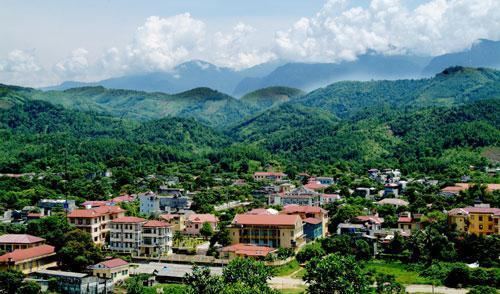
Bảo Thắng is a rural district (huyện) of Lào Cai Province in the Northeast region of Vietnam.
Contents
Map of B%E1%BA%A3o Th%E1%BA%AFng District, Lao Cai, Vietnam
As of 2003, the district had a population of 107,174. The district covers an area of 674 km². The district capital lies at Phố Lu.
History
The administrative unit of Bảo Thắng was first established in 1059 by the Lý dynasty.
Administrative divisions
Phố Lu, Phong Hải, Tằng Loỏng, Phú Nhuận, Phố Lu, Sơn Hà, Trì Quang, Xuân Quang, Phong Niên, Xuân Giao, Gia Phú, Sơn Hải, Thái Niên, Bản Cầm, Bản Phiệt.
References
Bảo Thắng District Wikipedia(Text) CC BY-SA