
Commune Băiuț Population (2011) 2,278 | Local time Thursday 9:33 PM | |
 | ||
Area 113.60 km (43.86 sq mi) Weather 6°C, Wind SE at 3 km/h, 64% Humidity | ||
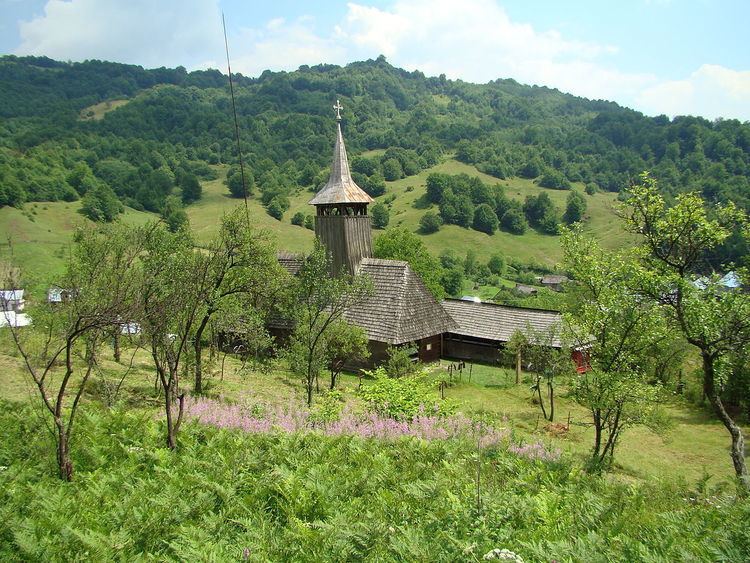
Băiuț (Hungarian: Erzsébetbánya) is a commune in Maramureș County, Romania. It is composed of three villages: Baiuț, Strâmbu-Băiuț (Kohóvölgy) and Poiana Botizii (Rákosfalva).
Contents
Map of B%C4%83iu%C8%9B 437025, Romania
Geography
The commune is situated on the upper level of the River Lăpuș, 80 kilometers southeast of the city of Baia Mare. The commune is at a height of 600 metres.
Population
At the 2011 census, 64.8% of inhabitants were Romanians and 34.8% Hungarians.
Sights
References
Băiuț Wikipedia(Text) CC BY-SA