
Postal codes 26219 Area 100.1 km² Local time Thursday 7:17 PM | Time zone CET/CEST (UTC+1/+2) Dialling codes 0 44 94 Population 7,519 (31 Dec 2008) Postal code 26219 | |
 | ||
Weather 6°C, Wind W at 27 km/h, 85% Humidity | ||
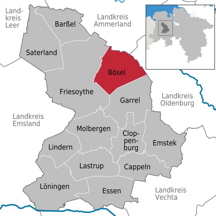
Bösel is a municipality in the district of Cloppenburg, in Lower Saxony, Germany.
Contents
- Map of BC3B6sel Germany
- History
- Politics
- Schools
- Places of interest
- Economy and Infrastructure
- Events
- References
Map of B%C3%B6sel, Germany
History
Bösel was first mentioned in 1080 under the name Borsla (= "Forest at a wavy bank") in a testimonial of the bishop of Osnabrück.
The first written document of a chapel in Bösel is dated with the year 1574, but Bösel was not separated from its mother church in Altenoythe and made an independent commune until 1876. Today Bösel consists of nine areas (Bösel-Ort, Edewechterdamm, Glaßdorf, Hülsberg, Osterloh, Ostland, Overlahe, Petersdorf und Westerloh).
Politics
The municipal council of Bösel consists of the following seats:
Schools
Places of interest
Economy and Infrastructure
Bösel is member of the „Zweckverband Interkommunaler Industriepark Küstenkanal“ and takes places in the industrial area c-Port.
Events
References
Bösel Wikipedia(Text) CC BY-SA