
Postal codes 54422 Area 8.22 km² Postal code 54422 Dialling code 06782 | Time zone CET/CEST (UTC+1/+2) Dialling codes 06782 Local time Thursday 7:09 PM Population 186 (31 Dec 2008) | |
 | ||
Weather 4°C, Wind W at 21 km/h, 59% Humidity | ||
Börfink is an Ortsgemeinde – a municipality belonging to a Verbandsgemeinde, a kind of collective municipality – in the Birkenfeld district in Rhineland-Palatinate, Germany. It belongs to the Verbandsgemeinde of Birkenfeld, whose seat is in the like-named town.
Contents
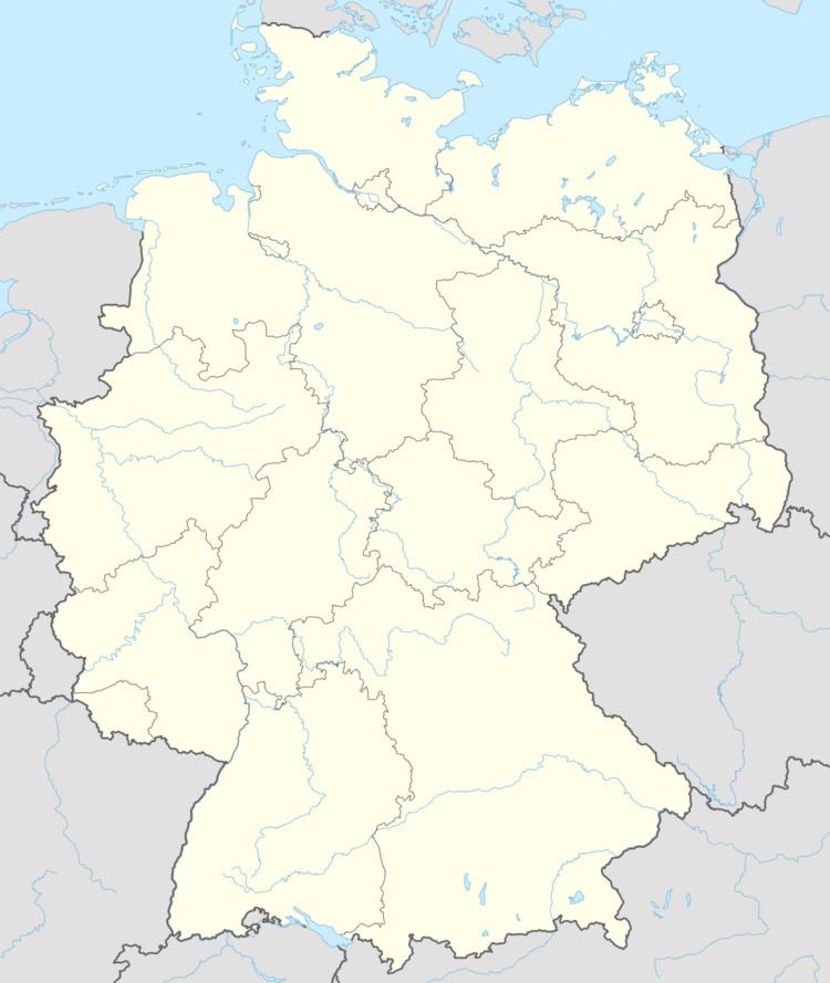
- Map of BC3B6rfink Germany
- Location
- Neighbouring municipalities
- Constituent communities
- Climate
- History
- Municipal council
- Mayor
- Coat of arms
- Buildings
- Transport
- References
Map of B%C3%B6rfink, Germany
Location
The municipality lies on the Traunbach near the 816 m-high Erbeskopf in the Schwarzwälder Hochwald (forest) in the Hunsrück. The municipal area is 78.8% wooded.
Neighbouring municipalities
Börfink borders in the southeast on Abentheuer and in the southwest on Muhl, an outlying centre of Neuhütten.
Constituent communities
Also belonging to Börfink are the outlying homesteads of Einschiederhof, Forellenhof Trauntal and Thranenweier.
Climate
Yearly precipitation in Börfink amounts to 1 133 mm, which is very high, falling into the highest tenth of the precipitation chart for all Germany. At 91% of the German Weather Service’s weather stations, lower figures are recorded. The driest month is July. The most rainfall comes in December. In that month, precipitation is 1.5 times what it is in July. Precipitation varies markedly. Only at 23% of the weather stations are higher seasonal swings recorded.
History
In the Middle Ages, Börfink belonged to the “Hinder” County of Sponheim, while in Prussian times it belonged to the Trier district.
The Kommandobunker Börfink, also known as Bunker Erwin, was brought into service in 1964. This was, among other things, a secret NATO bunker at the Erbeskopf that was used for air surveillance in Central Europe during the Cold War.
On 1 January 1971, the municipality, which had until this time been called Börfink-Muhl, dropped the second part of its name, and has been known ever since as Börfink.
Municipal council
The council is made up of 6 council members, who were elected by majority vote at the municipal election held on 7 June 2009, and the honorary mayor as chairman.
Mayor
Börfink’s mayor is Martin Döscher, and his deputies are Monika Schabert and Herbert Sicks.
Coat of arms
The German blazon reads: In schräglinksgeteiltem Schild vorne rot-silber geschacht, hinten in Schwarz ein goldenes Köhlerfeuer.
The municipality’s arms might in English heraldic language be described thus: Per bend sinister chequy gules and argent, and sable a charcoal maker’s fire Or.
The “chequy” pattern on the dexter (armsbearer’s right, viewer’s left) side is a reference to the village’s former allegiance to the “Hinder” County of Sponheim, Oberamt of Birkenfeld. The charge on the sinister (armsbearer’s left, viewer’s right) side, the charcoal maker’s fire, refers to a legend about the village’s founding: On the right bank of the Trau, on what is now Börfink’s location, a man named Balduin Hartmann is said to have built the first charcoal-making operation, named Balduinshäuschen after him.
The arms have been borne since 5 September 1972.
Buildings
The following are listed buildings or sites in Rhineland-Palatinate’s Directory of Cultural Monuments:
Transport
To the east runs Bundesstraße 41, and to the south runs the Autobahn A 62 (Kaiserslautern–Trier). Available in nearby Neubrücke is a railway station on the Nahe Valley Railway (Bingen–Saarbrücken).