
Country Vietnam Seat 6 Phan Đăng Lưu Time zone ICT (UTC+07) Population 470,054 (2010) | Centrally Governed City Ho Chi Minh City Wards 20 wards Area 20.8 km² | |
 | ||
Website binhthanh.hochiminhcity.gov.vn Colleges and Universities Ho Chi Minh City University of Transport, Ho Chi Minh City University of Technology Points of interest Van Thanh Park, Binh Quoi, Bình Quới Tourist Village, Chùa Diệu Pháp, Cty Thiet Ke Xay Dung Mo | ||
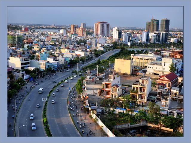
Bình Thạnh is a district of Ho Chi Minh City in Vietnam. As of 2010, the district had a population of 470,054, a total area of 21 km².
Contents
Map of B%C3%ACnh Th%E1%BA%A1nh, Ho Chi Minh, Vietnam
The name "Bình Thạnh" was formed from the name of two wards in the old Gò Vấp District, Binh Hoa and Thanh My Tay. In 1976, those two wards were removed from Gò Vấp District to create Bình Thạnh District.
Administrative division
Bình Thạnh is divided into 20 wards. They are wards 1, 2, 3, 5, 6, 7, 11, 12, 13, 14, 15, 17, 19, 21, 22, 24, 25, 26, 27 and 28. Wards 4, 8, 9, 10, 16, 18, 20 and 23 were omitted by merging them to other wards.
Geographical location
Bình Thạnh borders district 1 to the south, district 1, Phú Nhuận and Gò Vấp districts to west, Saigon River, District 2 and Thủ Đức District to the east.
The Bình Quới Tourist Village is located on the Thanh Da peninsula on the Saigon River, in the Bình Thạnh District.