
Area 4.84 km² | Population (2009) 325 Local time Thursday 6:10 PM | |
 | ||
Weather 9°C, Wind SW at 23 km/h, 61% Humidity | ||
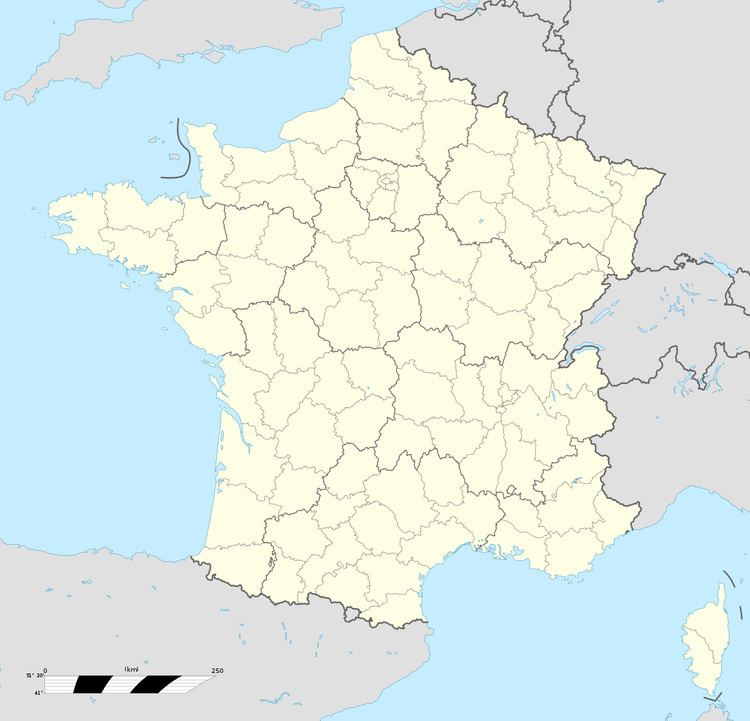
Bénifontaine is a commune in the Pas-de-Calais department in the Hauts-de-France region in northern France.
Contents
Map of 62410 B%C3%A9nifontaine, France
Geography
A farming village situated just 4 miles (6.4 km) north of Lens at the junction of the N47 and D39 roads.
The airport of Lens-Bénifontaine (code LFQL) is located in the commune.
History
The commune owes its name to the quality of the local water, which is used for brewing the regional Ch'Ti beer. During World War I, the village, along with many others, was completely destroyed.
Sights
References
Bénifontaine Wikipedia(Text) CC BY-SA