
Region Østlandet Time zone CET (UTC+01:00) | ||
 | ||
Ned fra t mmer sen i b rumsmarka
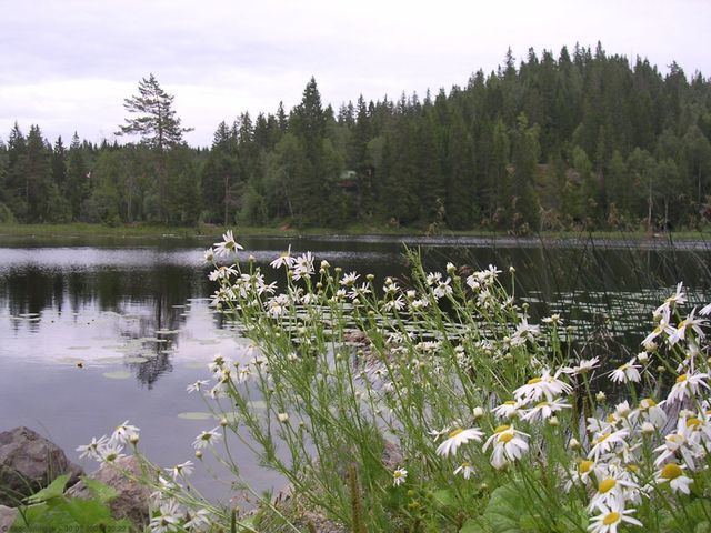
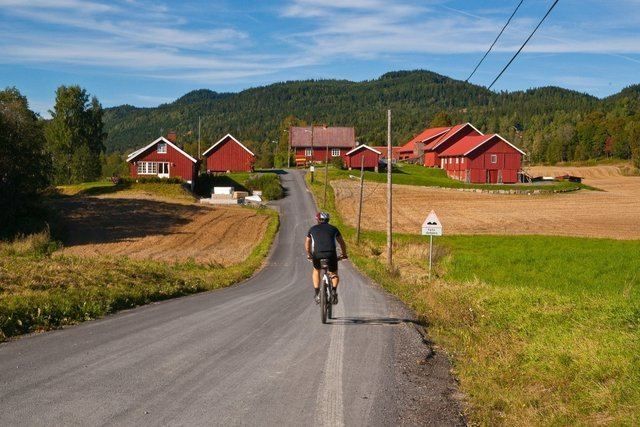
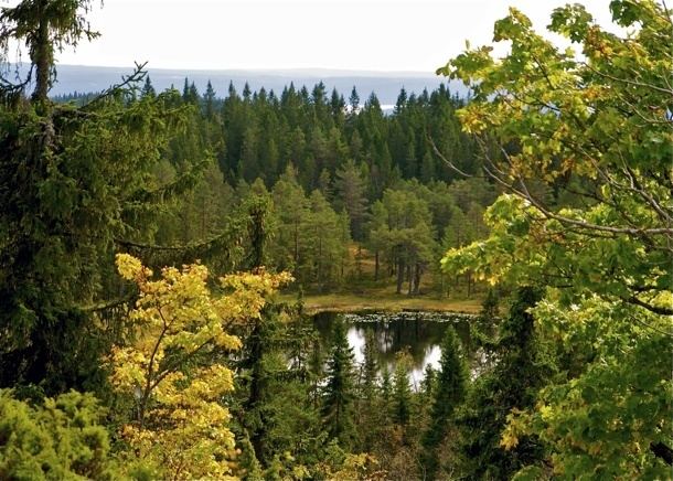
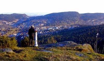
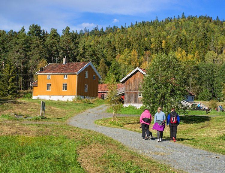
Bærumsmarka is a forested recreational area located outside Oslo, Norway. The area constitutes part of Oslomarka and is borderd by Krokskogen and Nordmarka.
Contents
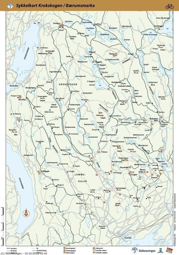
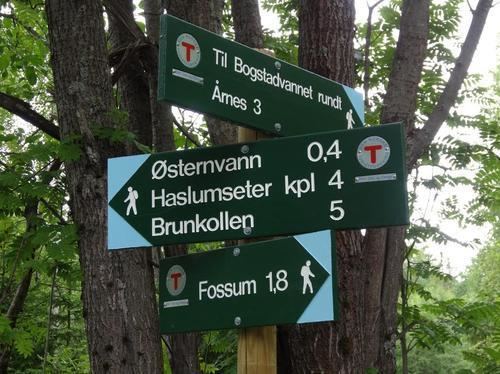
Bærumsmarka is in the Bærum municipality of Akershus. It is situated between the valleys of Lommedalen and Sørkedalen. Bærumsmarka is laced by over 70 square kilometres of marked hiking, riding and ski trails. The highest point in the landscape is Tjæregrashøgda (485 m). The area was a site of coal mining in connection with an iron network operation from the mid-1600s to the mid-1800s. The association Bærumsmarkas Venner was formed in 1985 to preserve the area against future development.
Finansavisen b rumsmarka rundt the race
References
Bærumsmarka Wikipedia(Text) CC BY-SA