
Time zone CET (UTC+1) Area 33.3 km² Population 833 (2001) | County Szabolcs-Szatmár-Bereg Postal code 4343 Local time Thursday 4:45 PM Area code 42 | |
 | ||
Weather 11°C, Wind SW at 21 km/h, 57% Humidity | ||
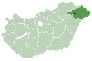
Bátorliget is a village in Szabolcs-Szatmár-Bereg county, in the Northern Great Plain region of eastern Hungary.
Contents
Map of B%C3%A1torliget, 4343 Hungary
Geography
It covers an area of 33.30 km2 (13 sq mi) and has a population of 833 people (2001).
Nearby is Bátorliget Pasture NCA (Nature Conservation Area).
References
Bátorliget Wikipedia(Text) CC BY-SA