
Country Vietnam Capital Bát Xát Area 1,050 km² Local time Thursday 10:44 PM | Region Northeast Time zone UTC + 7 (UTC+7) Province Lao Cai Province | |
 | ||
Weather 9°C, Wind SW at 6 km/h, 96% Humidity | ||
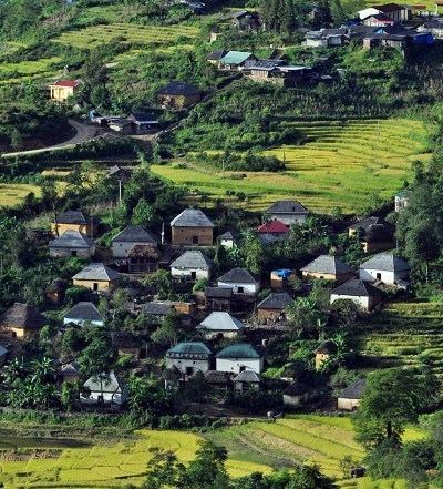
Bát Xát is a rural district of Lào Cai Province in the Northeast region of Vietnam. As of 2003, the district had a population of 62,477. The district covers an area of 1,050 km². The district capital lies at Bát Xát.
Contents
Map of B%C3%A1t X%C3%A1t District, Lao Cai, Vietnam
Administrative divisions
Bát Xát, Cốc San, Tòng Sanh, Phìn Ngan, Quang Kim, Bản Qua,Mường Vị, Bản Vược, Bản Xèo, Pa Cheo, Nậm Pung, Trung Lènh Hồ, Mường Hum, Dền Thàng, Sáng Ma Sáo, Dền Sáng, Cốc Mỳ, Y Tý, Ngải Thầu, A Lù, A Mú Sung, Nậm Chạc,Trịnh Tường.
References
Bát Xát District Wikipedia(Text) CC BY-SA