
Country Hungary Time zone CET (UTC+1) Area 63.93 km² Local time Thursday 4:13 PM | Postal code 6453 Population 2,567 (2015) Area code 79 | |
 | ||
Weather 14°C, Wind SW at 10 km/h, 42% Humidity | ||
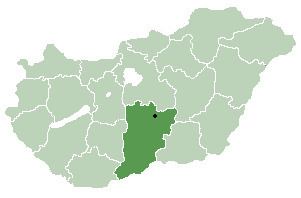
Bácsbokod (Croatian: Bikić, German: Wikitsch) is a large village and municipality in Bács-Kiskun county, in the Southern Great Plain region of southern Hungary. The Danube River (River Duna) flows 20 kilometers to the west of the village.
Contents
Map of B%C3%A1csbokod, 6453 Hungary
Geography
It covers an area of 63.93 km2 (25 sq mi) and has a population of about 3101 people.
Demography
Existing ethnicities:
References
Bácsbokod Wikipedia(Text) CC BY-SA