
Country Nigeria Local time Saturday 8:23 AM | Number of airports 1 | |
 | ||
Weather 24°C, Wind E at 13 km/h, 20% Humidity | ||
Ali moh hunting azare nigeria
Geography
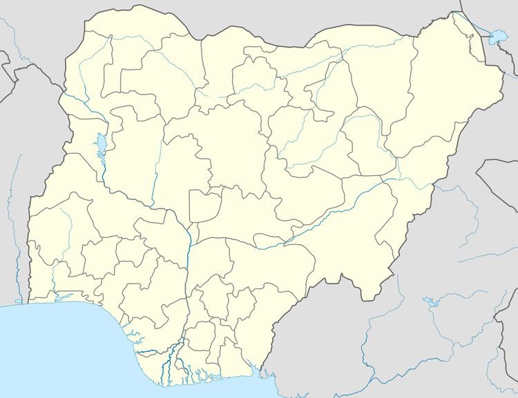
Azare is located at 11°40′27″N 10°11′28″E, at an elevation of 436 meters.
It the largest of several nearby towns in the region including Jama'are, Misau, Bulkachuwa, Disina, Faggo, Zadawa, and Madara. Azare is home to the Federal Medical Centre, Azare, the Federal Government College Azare, and the College of Education Azare.Azare Airstrip lies about 10 km southeast of the town.
Demographics
The population has grown from 69,035 at the 1991 census to its 2007 estimated value of 110,452. In the last five years, the population has grown by more than 20%. It is also the largest growing town in the state and region. Growth is prominent in all directions with the creation of Bamako to the South-East, Unguwar Dankawu And Makara-huta Inuwa Dahiru Road to the North, Federal Lowcost-GRA to the Northwest and the extended growth in the south that sees the town engulfing places like Chilankori and Chara-Chara Yelwa.
The people of Azare are predominantly Muslim, and are primarily of Hausa, Fulani, and Beriberi descent. The town's primary economic activity is agriculture.