
Country ESP Postal code 22311 Area 14.49 km² Local time Saturday 8:21 AM | Elevation 429 m Population 193 (2014) | |
 | ||
Weather 4°C, Wind W at 29 km/h, 74% Humidity | ||
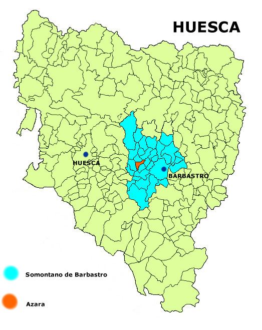
Azara is a municipality in the province of Huesca, Spain. In 2010, it had a population of 200 inhabitants. It is located in the middle of a valley named after Alferche, to the right of the La Clamor Canyon, surrounded by sandstone the highest among which is Peña de Santa Margarita, 40 km away from Huesca.
Contents
Map of 22311 Azara, Huesca, Spain
Monuments
Feasts
References
Azara, Huesca Wikipedia(Text) CC BY-SA