Local time Saturday 10:47 AM | Time zone AZT (UTC+4) Population 442 (2005) | |
 | ||
Weather 6°C, Wind NW at 8 km/h, 82% Humidity Rayons Ordubad District, Nakhchivan Autonomous Republic | ||
Aza (until 2003, Yuxarı Aza, Jukhary Aza, Yukary-Aza, and Yukhary Aza "Upper Aza") is a village and municipality in the Ordubad Rayon of Nakhchivan, Azerbaijan. It is located in the left side of the Ordubad-Nakhchivan highway, 17 km in the south-east from the district center, on the right bank of the Gilanchay River. Its population is busy with gardening, vegetable-growing, farming, animal husbandry. There are secondary school, club and a medical center in the village. It has a population of 442.
Contents
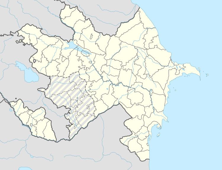
Map of Aza, Azerbaijan
Etymology
The former name of the village, Yuxarı (Upper) Aza means "Aza village which located in the upper side". Since 2003, the name of the village is officially registered as Aza. At the various sources, this settlement is described as a small town in versions of Aza, Azar, Azat, Azad. In the location of the same city is now located, two villages of Aza and Azadkand.
