
Area 25.5 km² | Population (2010) 564 Local time Saturday 6:52 AM | |
 | ||
Weather 5°C, Wind N at 10 km/h, 91% Humidity | ||
Ayrens is a French commune in the Cantal department in the Auvergne region of south-central France.
Contents
- Map of 15250 Ayrens France
- Geography
- History
- Administration
- Demography
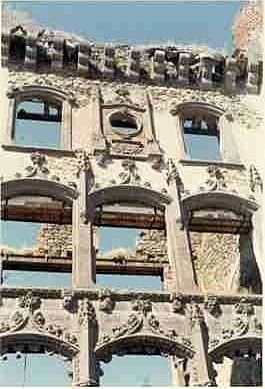
- Sites and Monuments
- Notable people linked to the commune
- References
Map of 15250 Ayrens, France
The inhabitants of the commune are known as Ayrencois or Ayrencoises.
Geography
Ayrens is located some 15 km north-west of Aurillac and 5 km north of Saint-Paul-des-Landes. Access to the commune is by road D52 from Teissières-de-Cornet in the south-east which passes through the village and continues west then south to join the D120 north-east of Laroquebrou. The D53 comes from Saint-Paul-des-Landes in the south and also passes through the village before continuing north-east to join the D6 near the border of the commune. The D352 goes north from the village to join the D53 north of the commune. Apart from the village there are the hamlets of:
The commune is mainly farmland with extensive forests in the northern part.
The Ruisseau du Meyrou flows from the south-east through the south of the commune forming a small part of the western border before continuing north to join the Eize. The Ruisseau d'Ayrens rises in the east of the commune and flows west through the village to the join the Ruisseau du Meyrou on the western border of the commune. The Ruisseau de Braulle flows from the west of the commune through the centre north of the village to join the Ruisseau du Meyrou on the western border. The Ruisseau de Praniac rises in the north of the commune and forms part of the northern border as it flows west to join the Eize.
History
Ayrens commune lies on the Paris meridian and on the 45th parallel north (45°0′0″N 2°20′14.025″E). It was therefore the fundamental point for the Bonne projection used in the Carte d'État-Major (General Staff Map) in the 19th century.
Administration
List of Successive Mayors
(Not all data is known)
Demography
In 2010 the commune had 564 inhabitants. The evolution of the number of inhabitants is known from the population censuses conducted in the commune since 1793. From the 21st century, a census of communes with fewer than 10,000 inhabitants is held every five years, unlike larger communes that have a sample survey every year.
Sources : Ldh/EHESS/Cassini until 1962, INSEE database from 1968 (population without double counting and municipal population from 2006)