
Elevation 740 m (2,430 ft) | Time zone EET (UTC+2) | |
 | ||
Aynata (عيناتا) is a village in Lebanon. It is located in the southern portion of the country. A stronghold for Hezbollah, during the war with Israel in 2006, about 60% of the homes in the town were destroyed.
Contents
Map of Aainata, Lebanon
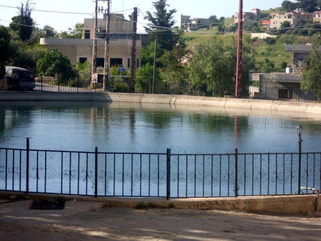
The terrain consists of plateaus of varying heights, with the Aynata itself located at an elevation of 740m. Several valleys separate Aynata from the nearest villages. Aynata has a moderate climate, cool summers and cold winters.
History
In 1596, it was named as a village, ‘’Aynata’’ in the Ottoman nahiya (subdistrict) of Tibnin under the liwa' (district) of Safad, with a population of 111 households and 22 bachelors, all Muslim. The villagers paid taxes on agricultural products, such as wheat, barley, vineyards, fruit trees, goats and beehives, in addition to "occasional revenues" and a fixed sum; a total of 10,560 akçe.
In 1875, Victor Guérin found a village with 400 Metualis.
In 1881, the Palestine Exploration Fund's Survey of Western Palestine (SWP) described it: "A village, built of stone, containing about 500 Metawileh. There is a Moslem school in the village; extensive vineyards and a few olives in the wady. Water supplied from birket and many cisterns.”
Modern era
Aynata is the family home of Mohammad Hussein Fadlallah.
During the 2006 Lebanon War, on July 19, an Israeli missile killed 4 civilians in the village. On July 24, Israel shelled two houses in the village; killing all inside both houses. One house had 4 Hizbollah fighters, the other house had 8 civilians, aged between 16 and 77.
Aaynata has a population of around 5,000 (dropping to 1,300 in the winter) and is 120 kilometers (74.568 mi) away from Beirut and sits 740 meters above sea level. The area borders Bent Jbayl, Aaitaroun, and Yaroun. It was occupied by Israel and most residents emigrated to Beirut’s southern suburbs. Israel pulled out of the area in 2000 and it has seen housing construction since that time. Tobacco and olices are grown in the area.