
Postal code 33750 Elevation 20 m Area code 0324 | Time zone EET (UTC+2) Licence plate 33 Population 2,203 (2012) | |
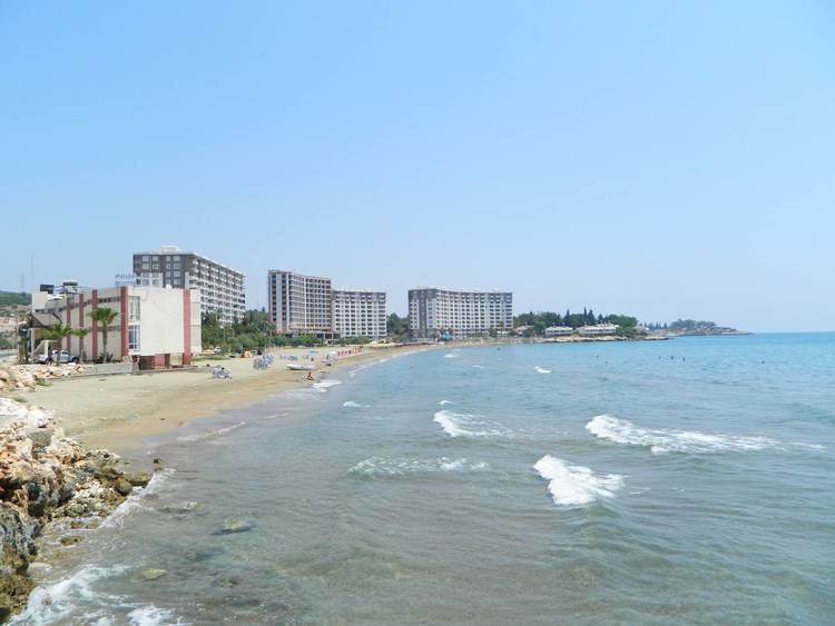 | ||
Ayaş is a Mediterranean coastal town in Mersin Province, Turkey.
Contents
Map of Aya%C5%9F, Erdemli%2FMersin Province, Turkey
Geography
Ayaş is a part of Erdemli district, which is a part of Mersin Province. It is on Turkish state highway at about 36°29′N 34°11′E. Its distance from Mersin is 55 kilometres (34 mi) and from Erdemli was 18 kilometres (11 mi). The population is 2203 as of 2012. The town is situated at the coast, and there are two beaches of touristic potential, Yemişkumu and Merdivenkuyu.
History
Ayaş had been inhabited since the ancient ages. Ancient Ayas was an island named Elaiussa and a town on the shore facing the island named Sebaste. Archelaus of Cappadocia had a palace in Elaiussa. But the island had since been joined the mainland because of alivion accumulation. During middle age, Elaiussa Sebaste lost its former importance. After the 12th century the ruins of the former town became a battle ground between the Armenian Kingdom of Cilicia and the Karamanids. The area around the former town was incorporated into Ottoman Empire in the 15th century and it became the grazing area of a nomadic Turkmen tribe named Ayaş. A part of the tribe settled in the village named after Ayaş and in 1989 it was incorporated into Kumkuyu municipality on the east. But in 1999 Ayaş was declared a town and issued from Kumkuyu municipality.
Economy
Like most towns around, Ayaş economy depends on vegetable agriculture. But there are hotels, beaches and summer houses around, and tourism begins to play a role in town economy.