
Postal codes 06922 Area 22.57 km² Postal code 06922 | Time zone CET/CEST (UTC+1/+2) Dialling codes 035386 Local time Friday 6:08 PM Population 557 (31 Dec 2008) Dialling code 035386 | |
 | ||
Weather 9°C, Wind S at 13 km/h, 52% Humidity | ||
Axien is a village and a former municipality in the Wittenberg district in Saxony-Anhalt, Germany. Since 1 January 2011, it is part of the town Annaburg.
Contents
Map of Axien, Germany
Geography and transport
The community lies about 35 km southeast of Wittenberg and about 20 km north of Torgau in the lowlands on the east bank of the Elbe on an old, now dry, arm of that river. West of the community runs Federal Highway (Bundesstraße) B 182, and to the north is the B 187. It lies on the "Mid-Germany Church Road". In the south, the community borders on Saxony.
History
The village of Axien is first documented in the 10th century. The village, however, must have been older, a castle by the name of Wazgrini in Axien having been mentioned in 865. It was used as a fortified bridgehead at a ford on the Elbe.
Subdivisions
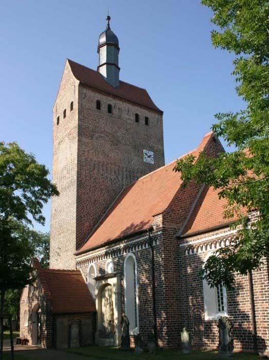
Sightseeing
References
Axien Wikipedia(Text) CC BY-SA