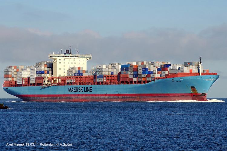
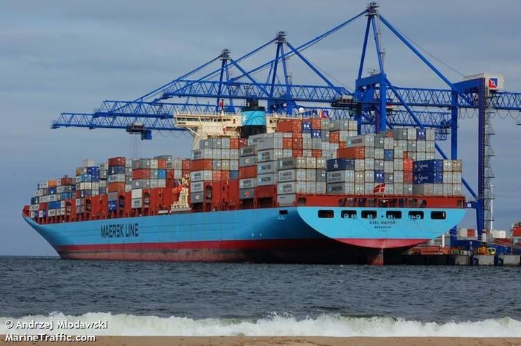
Name Axel Maersk Status Currently in service Launched 2003 Tonnage 109 million kg | Ordered 2002 Class and type container ship Length 352 m Builder Lindo Shipyards | |
 | ||
Operator A. P. Moller-Maersk Group Notes Call sign OUUY2IMO Number 9260419MMSI 220187000 | ||
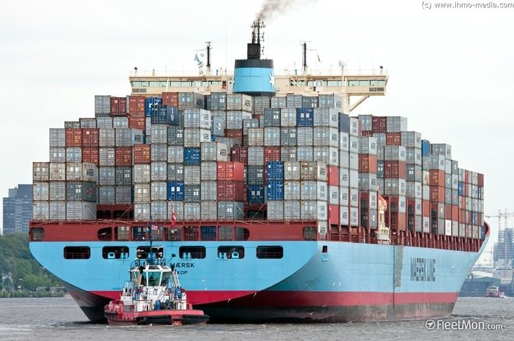
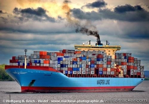
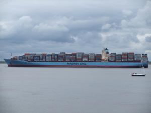
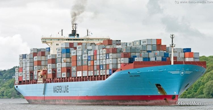
The Axel Maersk (or Axel Mærsk) is a Danish merchant ship. The container ship is part of the fleet of the Maersk Line. The container ship has a length of 352.00 m (1,154.86 ft) and a beam of 43.00 m (141.08 ft). The deadweight of the container ship is 109,000 metric tons with a gross tonnage of 93,496 gross tons, which gives enough capacity for 9,000 containers, according to the company's requirements.
Contents
History and facts
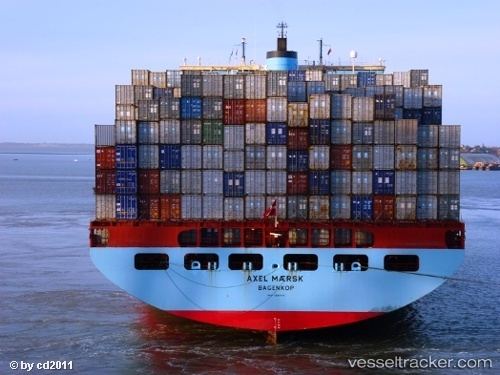
The container ship Axel Maersk was built in 2003 in the ship-yard of the Maersk Line in Odense, Denmark. The flag of Axel Maersk is also in Denmark. Axel Maersk was ordered in 2002 and completed in the beginning of 2003. The MMSI of the container ship is 220187000, the IMO number is 9260419 and the call sign is OUUY2.
The ship has a large capacity of more than 9,000 TEUs. For this, the vessel needs a strong and reliable main engine. The one chosen for Axel Maersk is HDS Sulzer 12RTA96C with full power of 76,200 hp (56,800 kW). This is enough for the container ship to reach the speed of 25.4 knots (maximum speed) and 23.9 knots (44.3 km/h) cruising speed.
Environmental
Maersk Lines built the ship in an environmentally friendly fashion, aware of the requirements limiting pollution as required by MARPOL. The Axel Maersk was created with the most modern technology, in order to decrease the CO2 emissions from the engine. Also, the paint was designed to decrease water resistance. The cargo stowage is easier and more secure, so as to prevent losing any containers.
Bridge equipment
The Axel Maersk follows all IMO requirements for bridge equipment. This can be seen from the modern ARPA system and Radar plotting system. Also the GPS shows the ship's position with an accuracy of 10 meters. The autopilot follows the course within an accuracy of up to 1 degree. The electronic chart plots the ship's position every five minutes, and the company's requirements for officers are to plot her position every five minutes while close to the shore.