Country India District Pulwama Sex ratio ♂/♀ Elevation 1,582 m | State Jammu & Kashmir Time zone IST (UTC+5:30) Website pulwama.nic.in Population 6,250 (2011) | |
 | ||
Weather 6°C, Wind S at 6 km/h, 58% Humidity University Islamic University of Science and Technology | ||
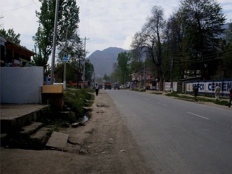
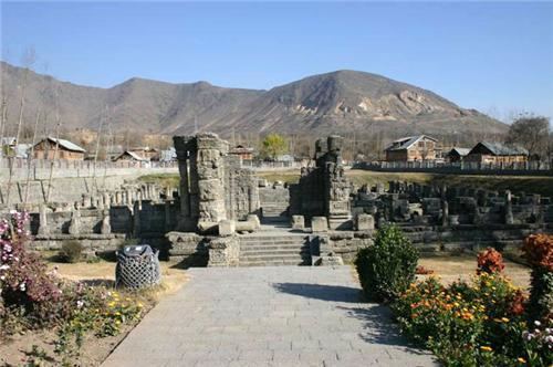
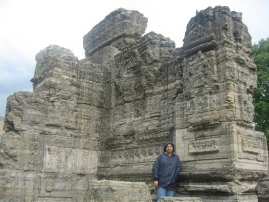
Awantipora or Awantipur is a town and a notified area committee in Pulwama district of the Indian state of Jammu & Kashmir. It is situated between Anantnag and Srinagar on NH 44 (former name NH 1A before renumbering of all national highways). Awantipora was named after Avanti Varman and had a number of ancient Hindu temples built by the king including the Avantiswami Temple. The ruins of temples constructed by Lalitaditya are also found in Awantipora. The temple sites are protected and maintained by the Archaeological Survey of India.
Contents
Ancient temples
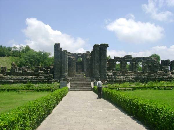
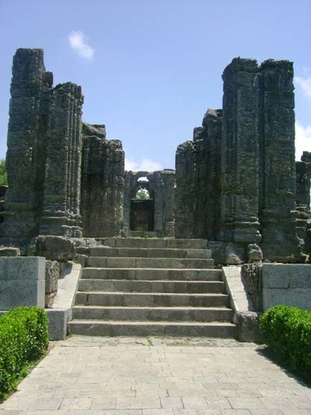
Awantipora has a number of ancient Hindu temples built by King Awanti Varman (AD 855- 883) when he chose the site as his capital.
Avantishwar temple located at Jawbrari in the centre of a courtyard surrounded by a colonnaded peristyle is dedicated to Siva on the banks of the River Jhelum (Vitasta). Less than a kilometre away is Avantiswamin temple dedicated to Vishnu. The Vaikunta Vishnu illustrated as frontispiece is said to be found in this temple. The two temples are quite similar structurally. The walls of the entrance are ornamented with sculptured reliefs both internally and externally.
The ruins of temples constructed by Lalitaditya, the Brahmin emperor of Kashmir, are also located in Awantipora.
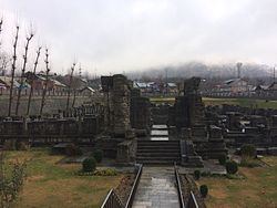
The temples are located at 33°55′24″N 75°00′46″E and 33°55′41″N 75°00′16″E. They are protected and maintained by the Archaeological Survey of India.
Demographics
As of 2001 India census, Awantipora had a population of 6,250. Males constitute 59% of the population and females 41%. Awantipora has an average literacy rate of 48%, lower than the national average of 59.5%; with 78% of the males and 22% of females literate. 9% of the population is under 6 years of age.
Air Force Station, Awantipur
Awantipur Air Force Station is situated near Awantipora at Malangpora about 5 km from Pulwama town.