
Country France Intercommunality Ouest Guyanais INSEE/Postal code 97361 / 97319 Local time Friday 12:34 PM | Population (2012) 1,327 Area 187.4 km² | |
 | ||
Weather 29°C, Wind E at 21 km/h, 72% Humidity | ||
Awala-Yalimapo is a commune on the north coast of French Guiana, close to the border with Suriname. The seat of the commune is the settlement of Awala where the town hall is located. Other settlements in the commune are: Yalimapo, Ayawande, and Piliwa. All of them are Kali'na Amerindian villages.
Contents
Map of Awala-Yalimapo, French Guiana
History
The commune of Awala-Yalimapo was created on 1 January 1989 by detaching its territory from the commune of Mana.
Geography
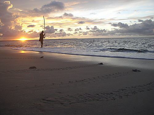
Awala and Yalimapo are French Guiana's northern-most settlements, located just to the south of the région's northernmost point, the beach of Plage des Hattes, the world’s largest leatherback turtle nesting site.
Demographics
The inhabitants of Awala-Yalimapo are in their majority Ameridians (Kaliña).
References
Awala-Yalimapo Wikipedia(Text) CC BY-SA