
Quadrant NW Sector Mature area Area 90 ha | Ward 11 Elevation 673 m Population 2,087 (2012) | |
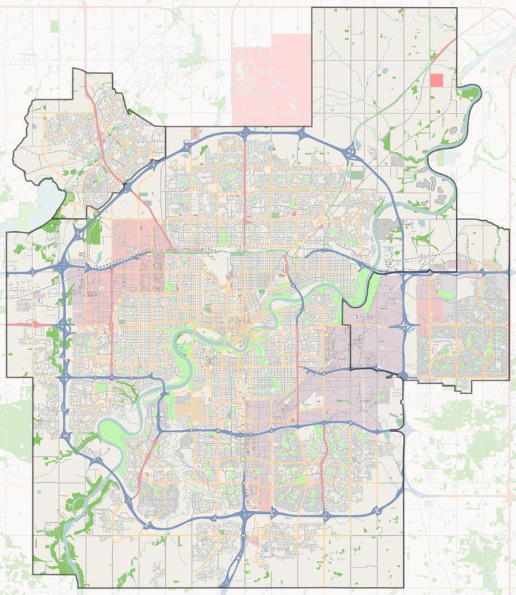 | ||
Avonmore is a residential neighbourhood in south east Edmonton, Alberta, Canada. It was named after the Avonmore in Ireland. It is in the shape of an irregular quadrilateral bounded on the south east by Argyll Road, on the south west by Mill Creek Ravine, on the north by 76 Avenue and on the east by 75 Street. It is surrounded by a mixture of residential neighbourhoods and industrial subdivisions. To the north is the residential subdivision of King Edward Park. To the east and south east are the industrial subdivisions of Girard Industrial and Coronet Addition Industrial. Separated from Avonmore by the Mill Creek Ravine are the residential neighbourhoods of Argyll, Hazeldean and Ritchie.
Contents
Map of Avonmore, Edmonton, AB, Canada
Avonmore is an ethnically mixed neighbourhood with the most commonly identified ethnic groups for persons identifying themselves with a single ethnic group in the 2001 Federal Census being German (5.9%), Canadian (5.2%), Ukrainian (3.3%), Scottish (2.6%) and English (2.0%). Three out of four census respondents identified themselves with multiple ethnic groups.
Avonmore School is an elementary and junior high school in the neighbourhood. It is home to the Nellie McClung Program for Junior High Girls.
Demographics
In the City of Edmonton's 2012 municipal census, Avonmore had a population of 7003208700000000000♠2,087 living in 7003101600000000000♠1,016 dwellings, a -2.5% change from its 2009 population of 7003214100000000000♠2,141. With a land area of 0.9 km2 (0.35 sq mi), it had a population density of 7003231890000000000♠2,318.9 people/km2 in 2012.